On Assignment: Focusing on the effects of California’s persistent drought
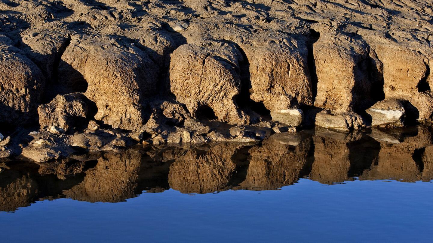
Patterns are created and reflected from water receding on the bed of Folsom Lake. As the state ends the fourth-driest water year on record with no guarantee of significant rain and snow this winter, Californians face the prospect of stricter rationing and meager irrigation deliveries. (Allen J. Schaben / Los Angeles Times)
As I focus on California’s relentless drought, I find I’m documenting the plight of the environment: The effects of the struggle between people and nature. I began my journey by exploring California’s rivers, lakes, canals and reservoirs in search of visual effects of the drought.
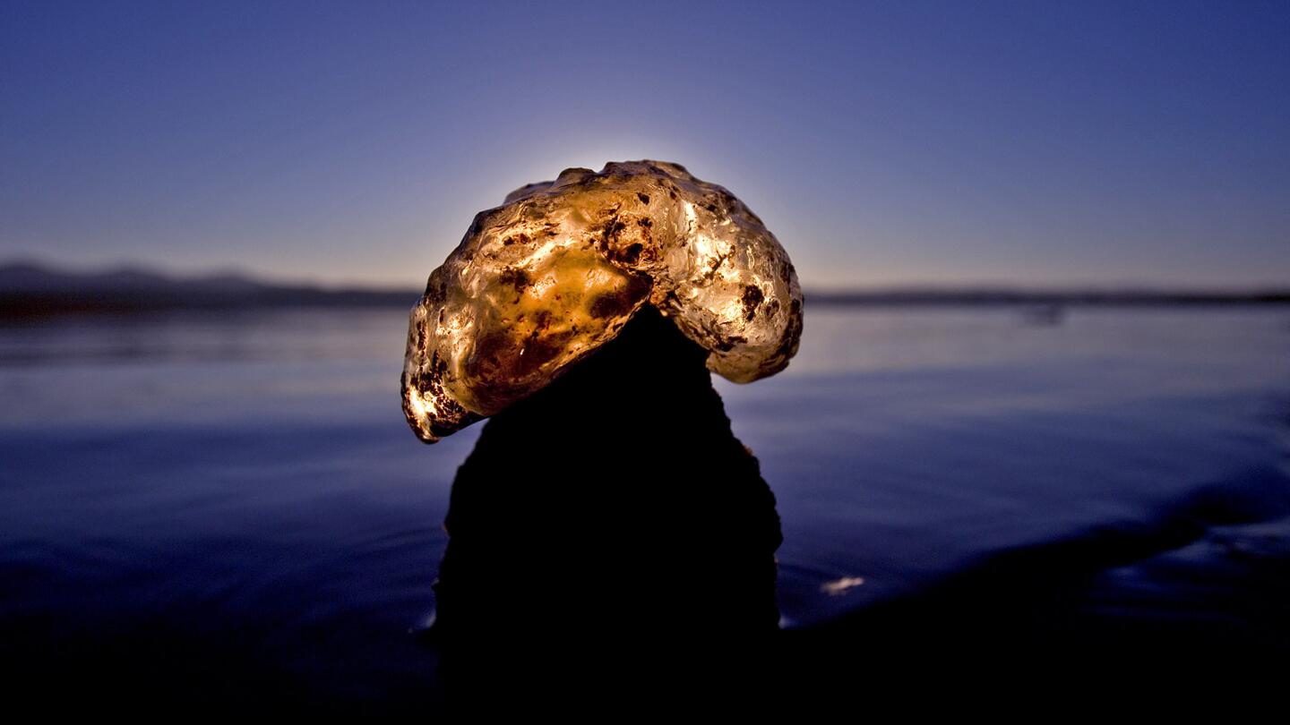
A translucent freshwater bryozoa is illuminated by the rising sun on the receding banks of Folsom Lake, which was 35% of capacity as of Sept. 30. One of the lake’s five boat ramps remains in operation and boaters are restricted to 5 mph. (Allen J. Schaben / Los Angeles Times)
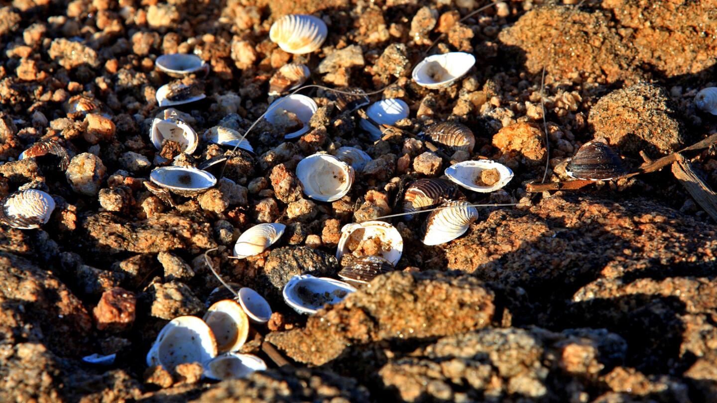
The effects of California’s ongoing drought are evident at Diamond Valley Lake in Hemet as shells, once under water, lie in the soil of recently exposed banks. (Allen J. Schaben / Los Angeles Times)
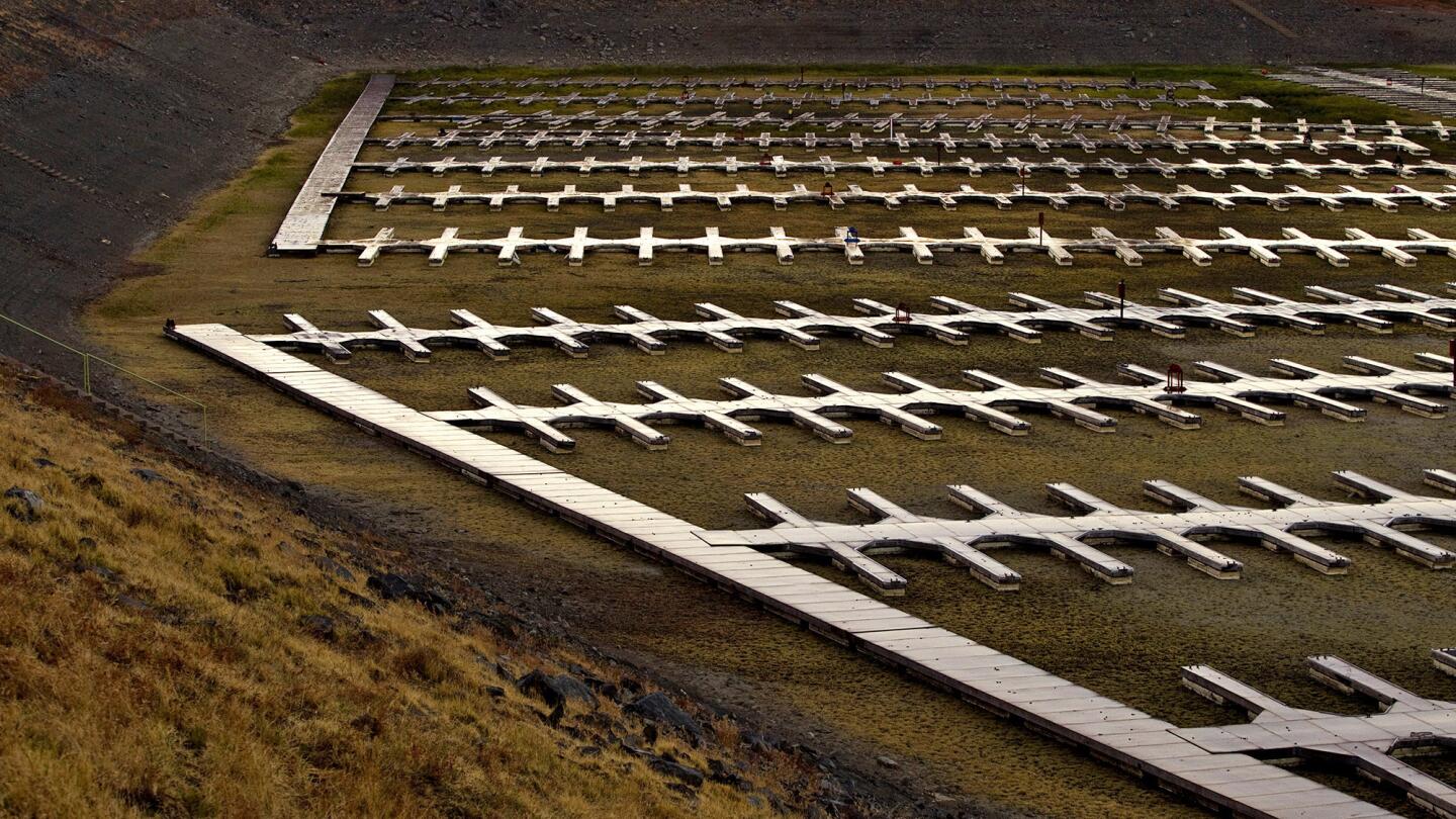
Severe drought conditions reveal more than 600 empty docks sitting on dry, cracked dirt at Folsom Lake Marina, which is one of the largest inland marinas in California. (Allen J. Schaben / Los Angeles Times)
Advertisement
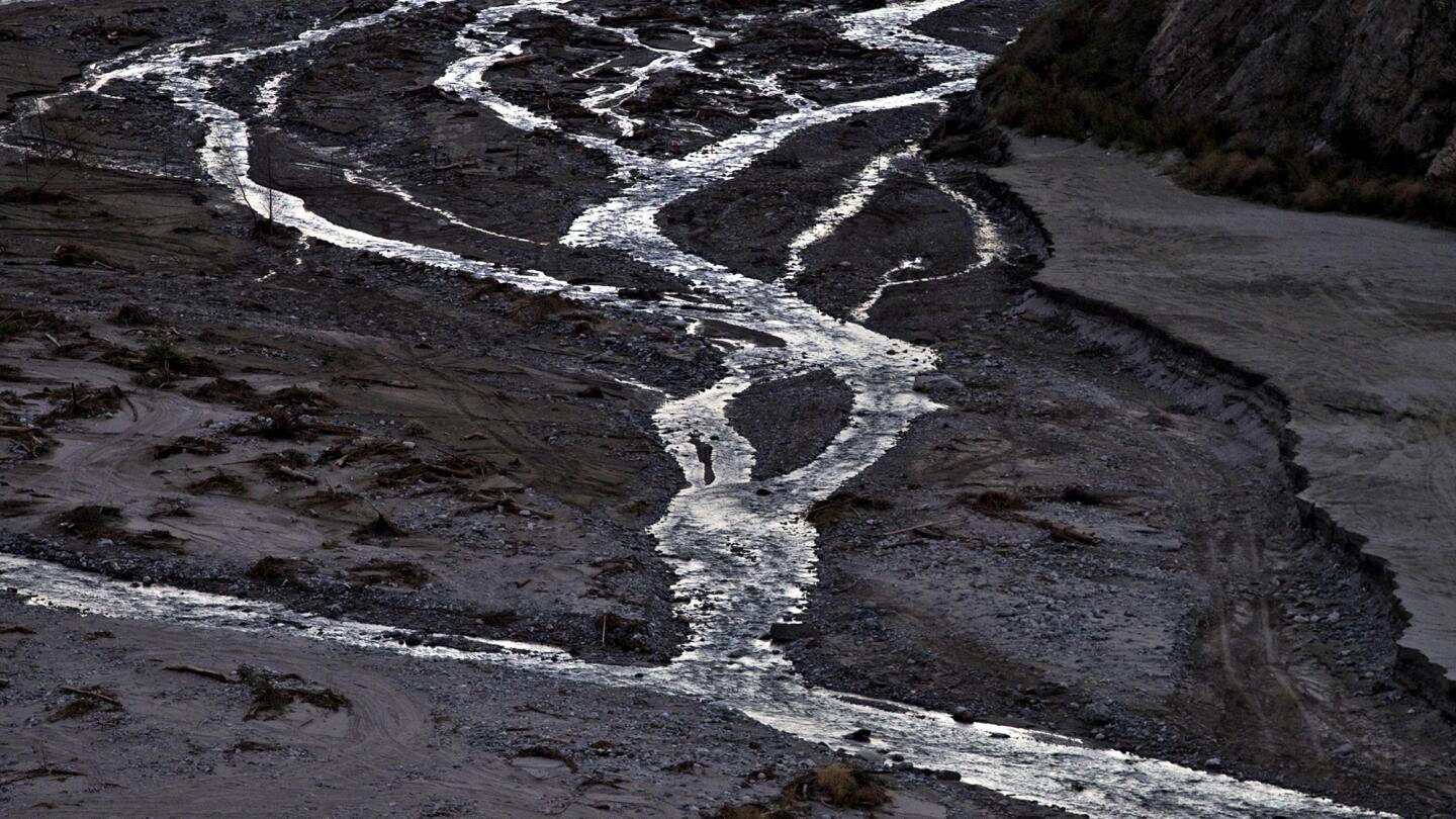
Extremely low levels of water flowing through meandering streams of the east fork of the San Gabriel River in the Angeles National Forest show the effects of the prolonged drought. The water flows into the San Gabriel Dam and the Morris Dam, further downstream. (Allen J. Schaben / Los Angeles Times)
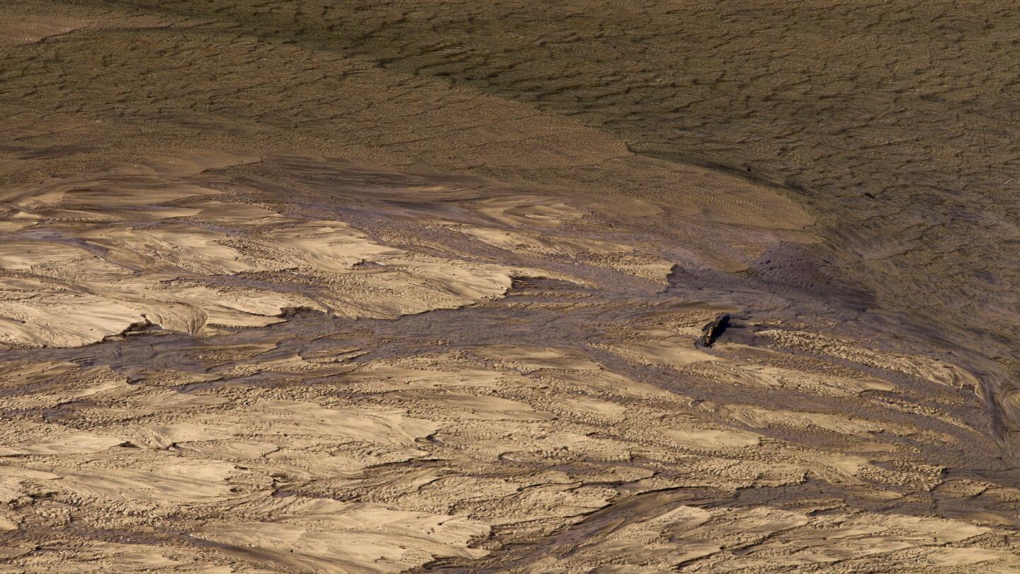
Earthen patterns are left behind from the receding waters of the drought-stricken Pine Flat Reservoir near Sanger. California’s third year of drought has depleted the reservoir, one of the largest in California, to 10% percent of capacity. (Allen J. Schaben / Los Angeles Times)
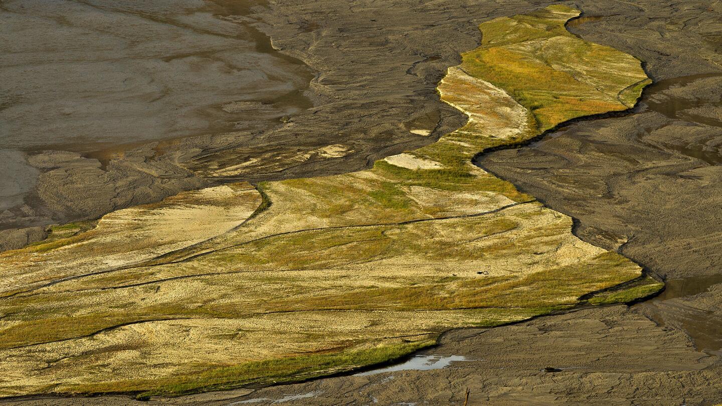
Earthen patterns are left behind from the receding waters of Pine Flat Reservoir. The reservoir, about an hour northeast of Fresno, sits in the foothills of the Sierra Nevada just outside the boundary of Kings Canyon National Park. (Allen J. Schaben / Los Angeles Times)
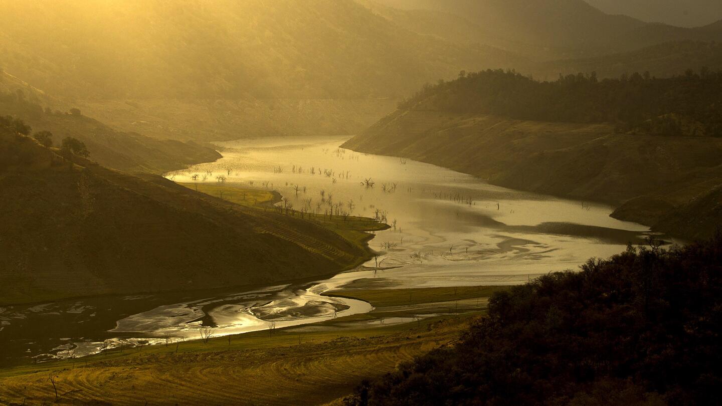
The sunrise illuminates the receding waters of Pine Flat Reservoir, one of California’s most severely depleted dams. (Allen J. Schaben / Los Angeles Times)
Advertisement
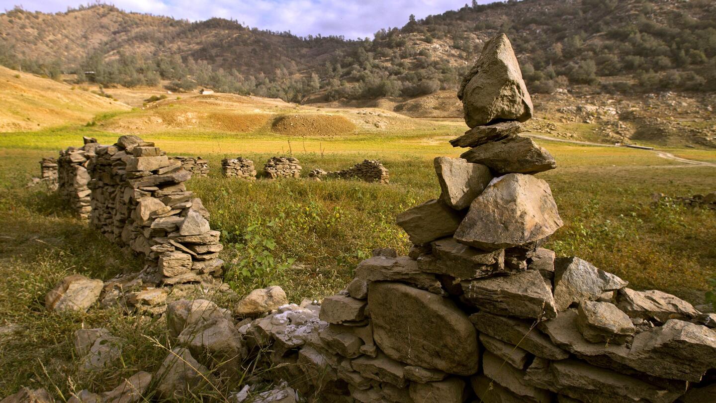
The remnants of the old Trimmer jail at Trimmer Springs are visible after most of Pine Flat Reservoir dried up. (Allen J. Schaben / Los Angeles Times)
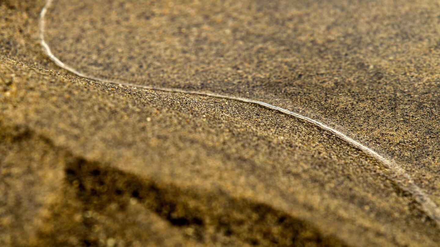
Receding waters leave a pattern in the sand behind at Pine Flat Reservoir. (Allen J. Schaben / Los Angeles Times)
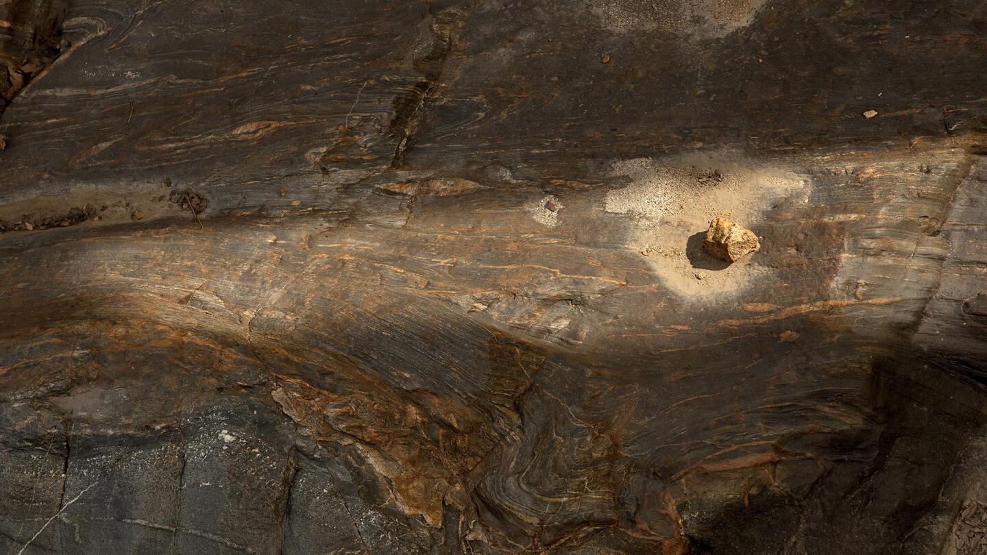
Earthen patterns are left behind from the receding waters of Pine Flat Reservoir. (Allen J. Schaben / Los Angeles Times)
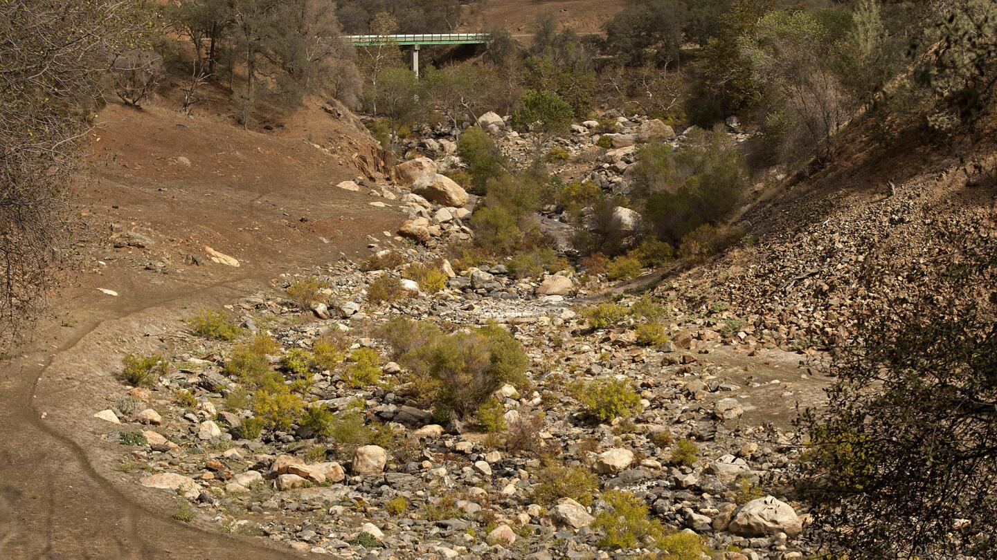
Rocks and patterns in the ground are left behind as water recedes in a creek that used to flow into the drought-depleted Pine Flat Reservoir. (Allen J. Schaben / Los Angeles Times)
Advertisement
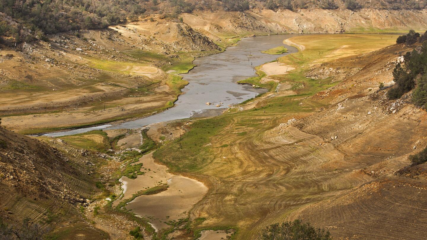
Patterns in the earth are left behind from the receding waters of the Pine Flat Reservoir, seen on Oct. 14. The reservoir has been depleted to about 10% of capacity. (Allen J. Schaben / Los Angeles Times)
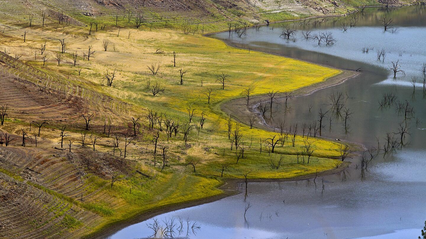
Water rings mark receding levels of the Pine Flat Reservoir. (Allen J. Schaben / Los Angeles Times)
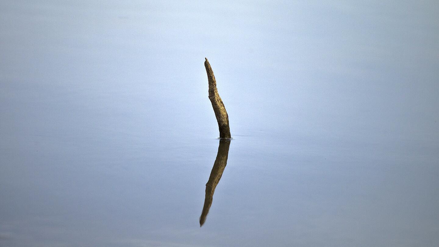
A tree branch sticks out of the shallow water at the drought-plagued Pine Flat Reservoir. (Allen J. Schaben / Los Angeles Times)
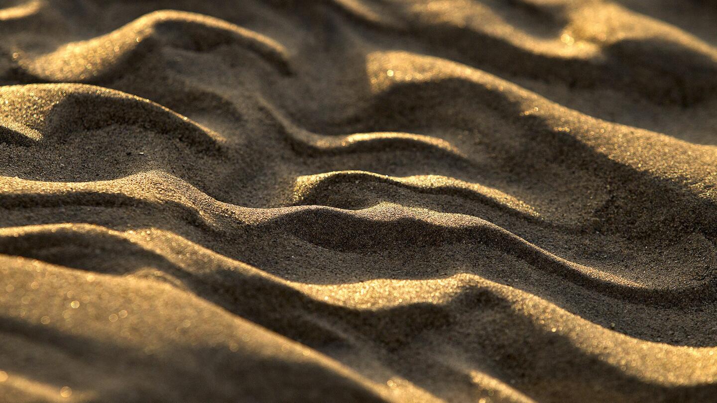
Sunrise highlights patterns in the sand that remain after the water receded at the drought-stricken Pine Flat Reservoir. (Allen J. Schaben / Los Angeles Times)
Advertisement
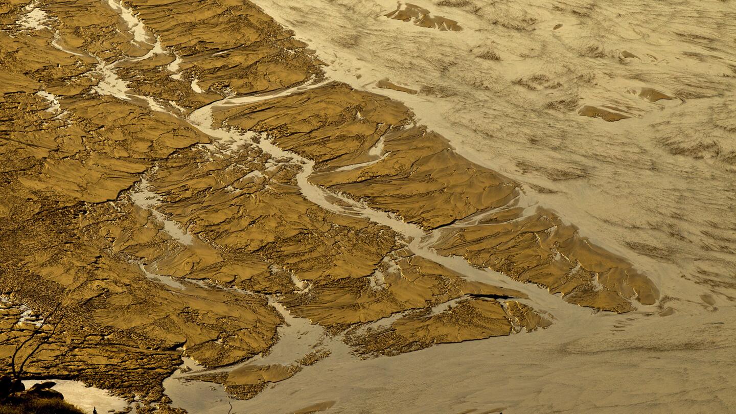
Patterns in the ground indicate previous water levels at the drought-shrunken Pine Flat Reservoir. (Allen J. Schaben / Los Angeles Times)
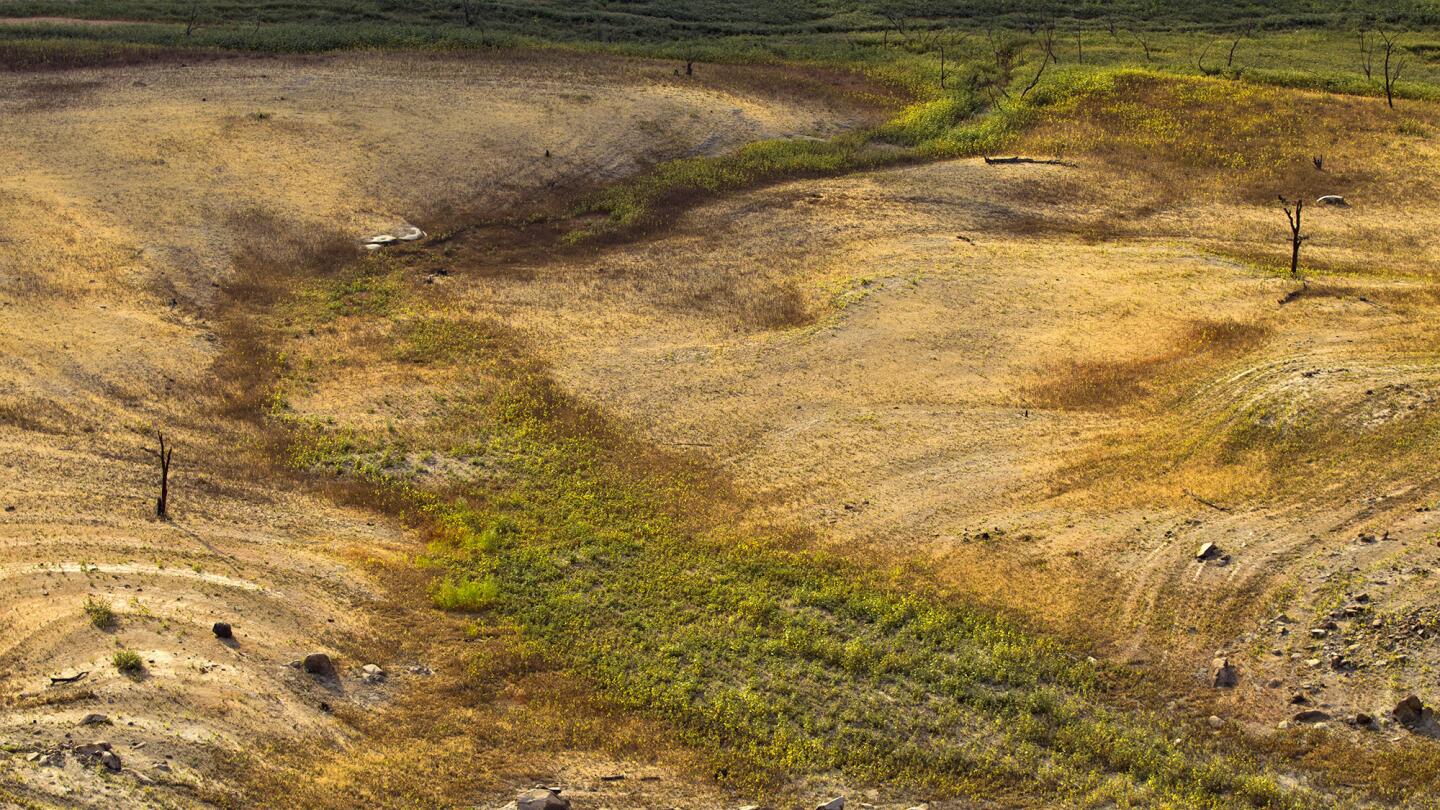
The ground around the Pine Flat Reservoir shows the effects of receding water as drought continues to plague the area. (Allen J. Schaben / Los Angeles Times)
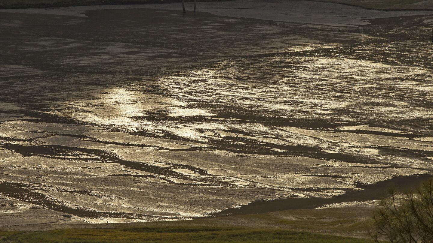
As drought shrinks the Pine Flat Reservoir, patterns in the ground mark where water once was. (Allen J. Schaben / Los Angeles Times)
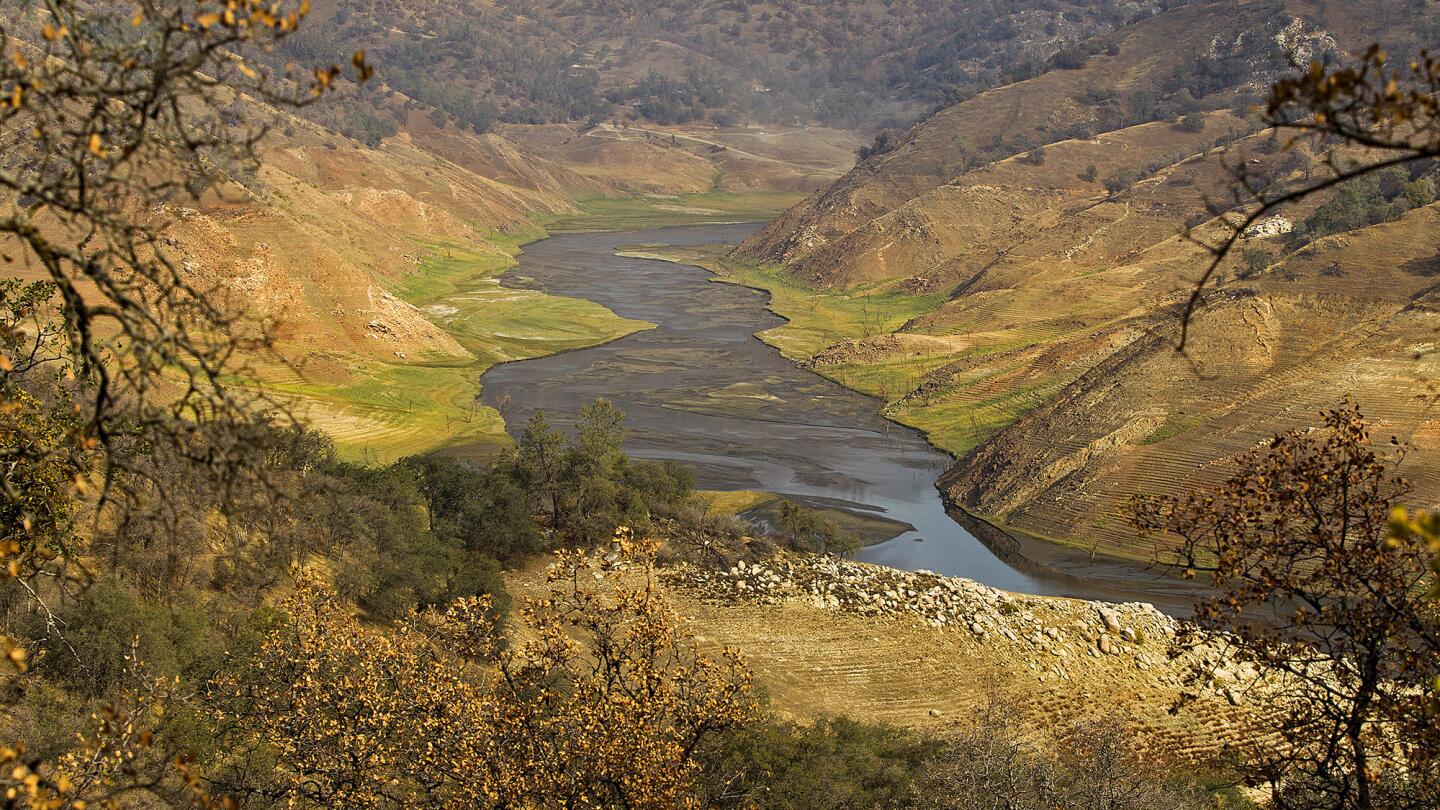
The surrounding land is testimony to the effects of drought on the depleted Pine Flat Reservoir. (Allen J. Schaben / Los Angeles Times)
Advertisement
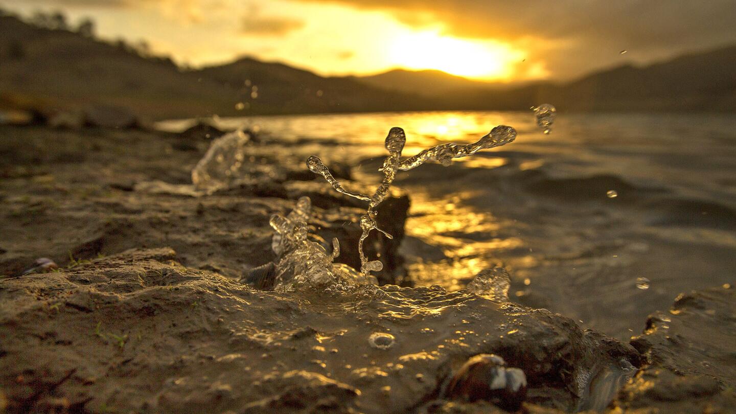
At sunrise, wind pushes the remaining water to splash up on the banks of the drought-depleted Pine Flat Reservoir. (Allen J. Schaben / Los Angeles Times)
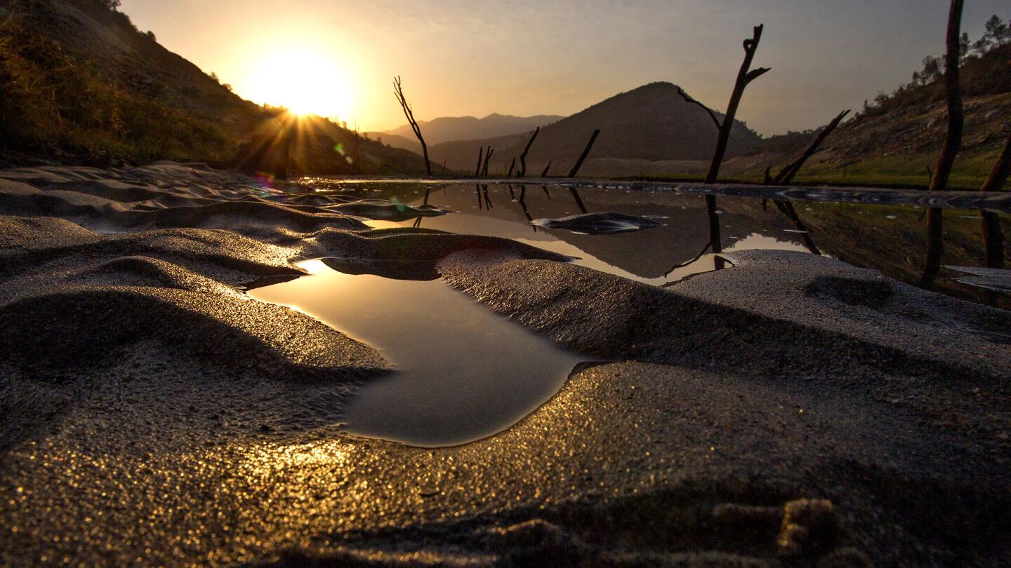
Sunrise highlights patterns in the sand amid puddles at the drought-stricken Pine Flat Reservoir. (Allen J. Schaben / Los Angeles Times)
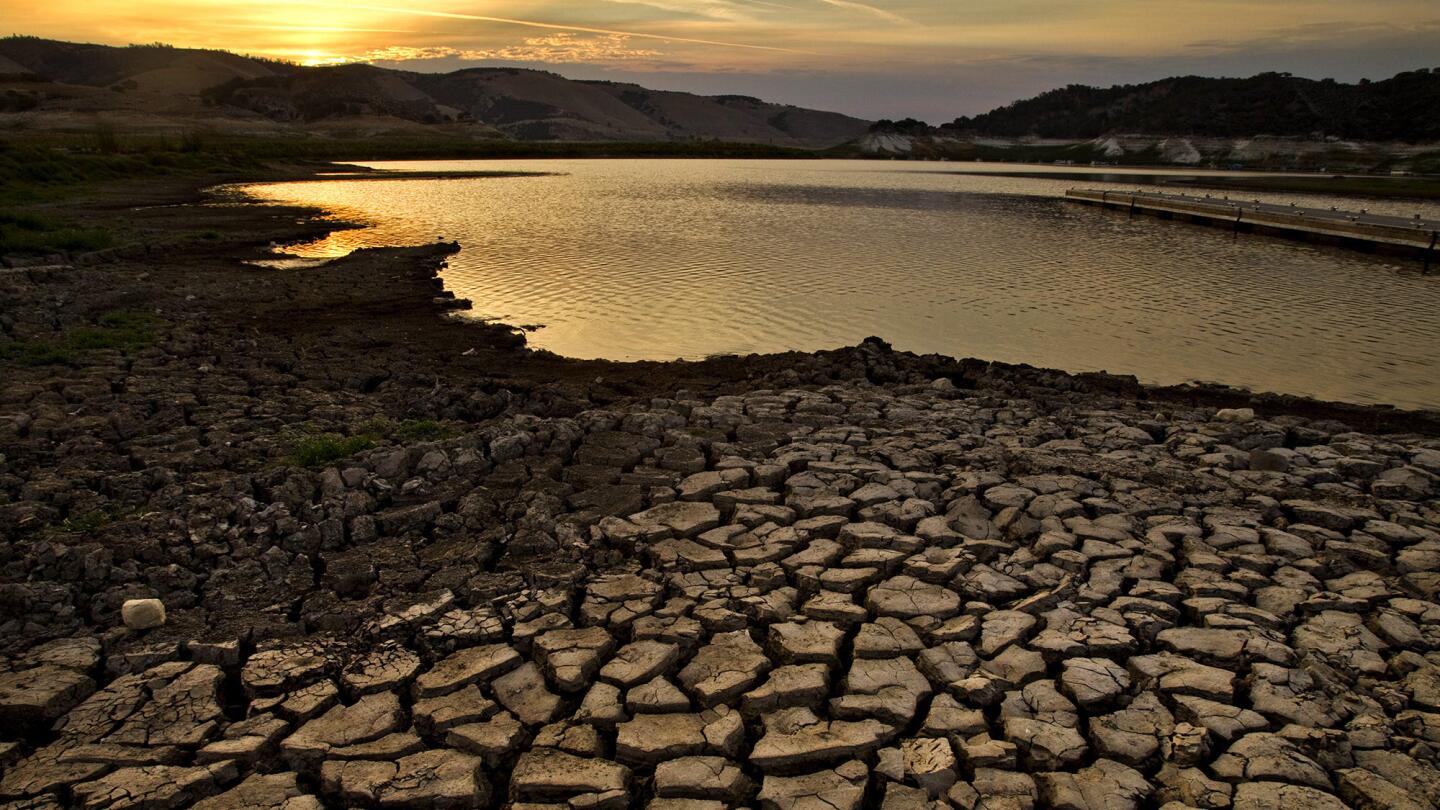
Sunrise illuminates the cracked, receding banks and the dropping water levels of Lake San Antonio in Monterey County. (Allen J. Schaben / Los Angeles Times)
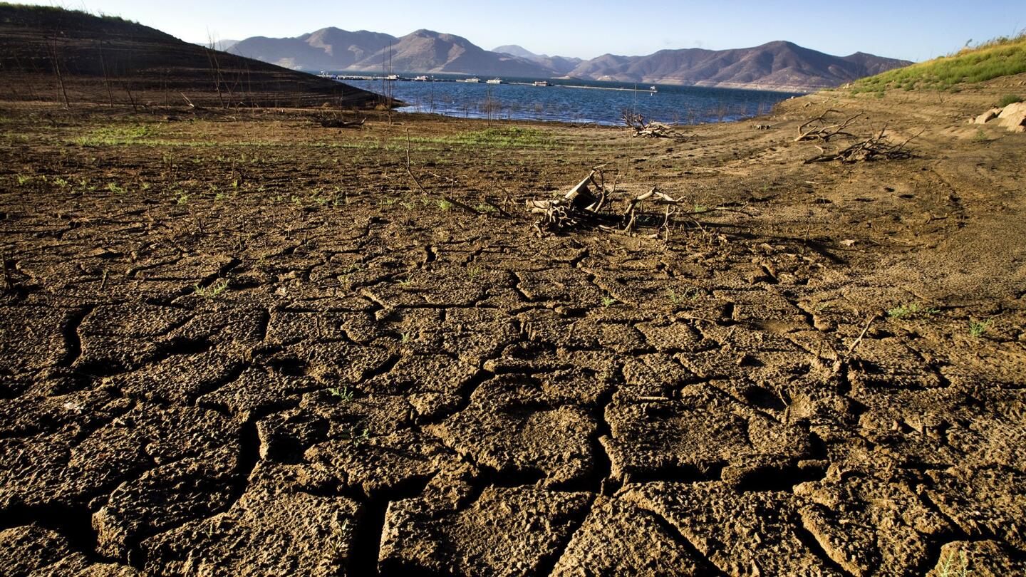
The effects of California’s ongoing drought are evident in the dry, cracked banks from dropping water levels at Diamond Valley Lake in Hemet. (Allen J. Schaben / Los Angeles Times)
Advertisement
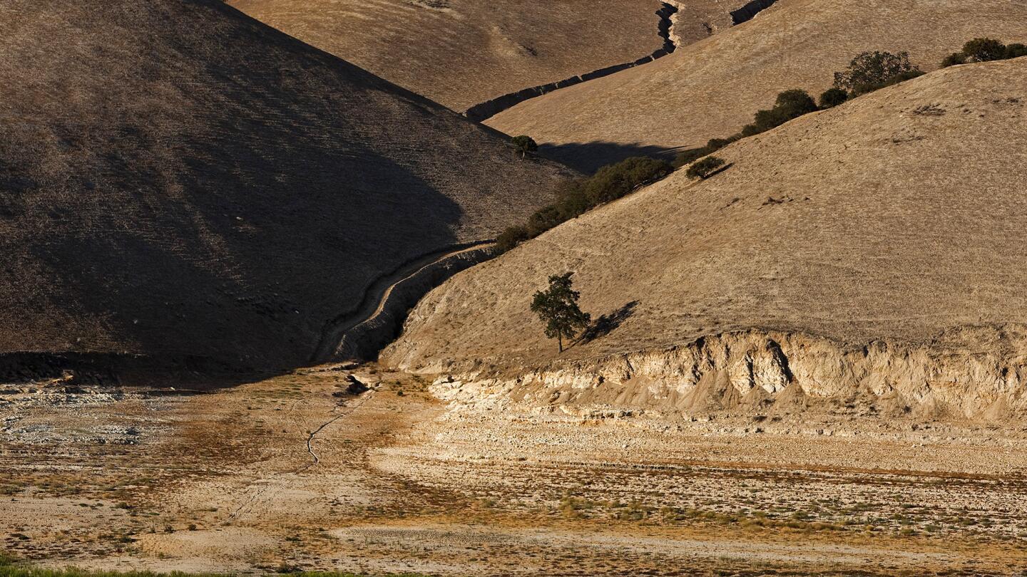
The dry, cracked lake bed due to extreme drought conditions at Lake San Antonio. (Allen J. Schaben / Los Angeles Times)
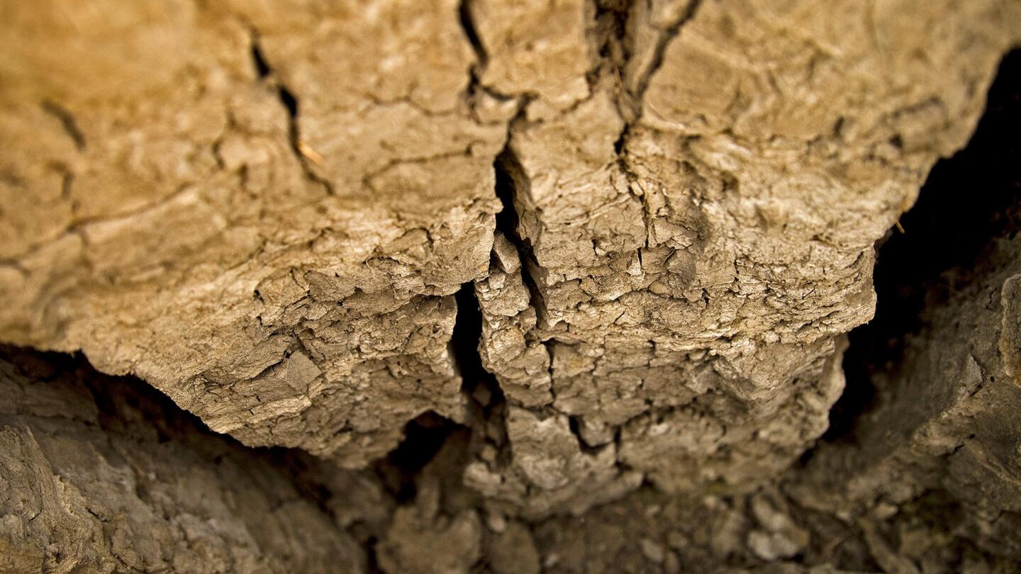
The dry, cracked earthen lake bed reveals the extreme drought conditions at Lake San Antonio. (Allen J. Schaben / Los Angeles Times)
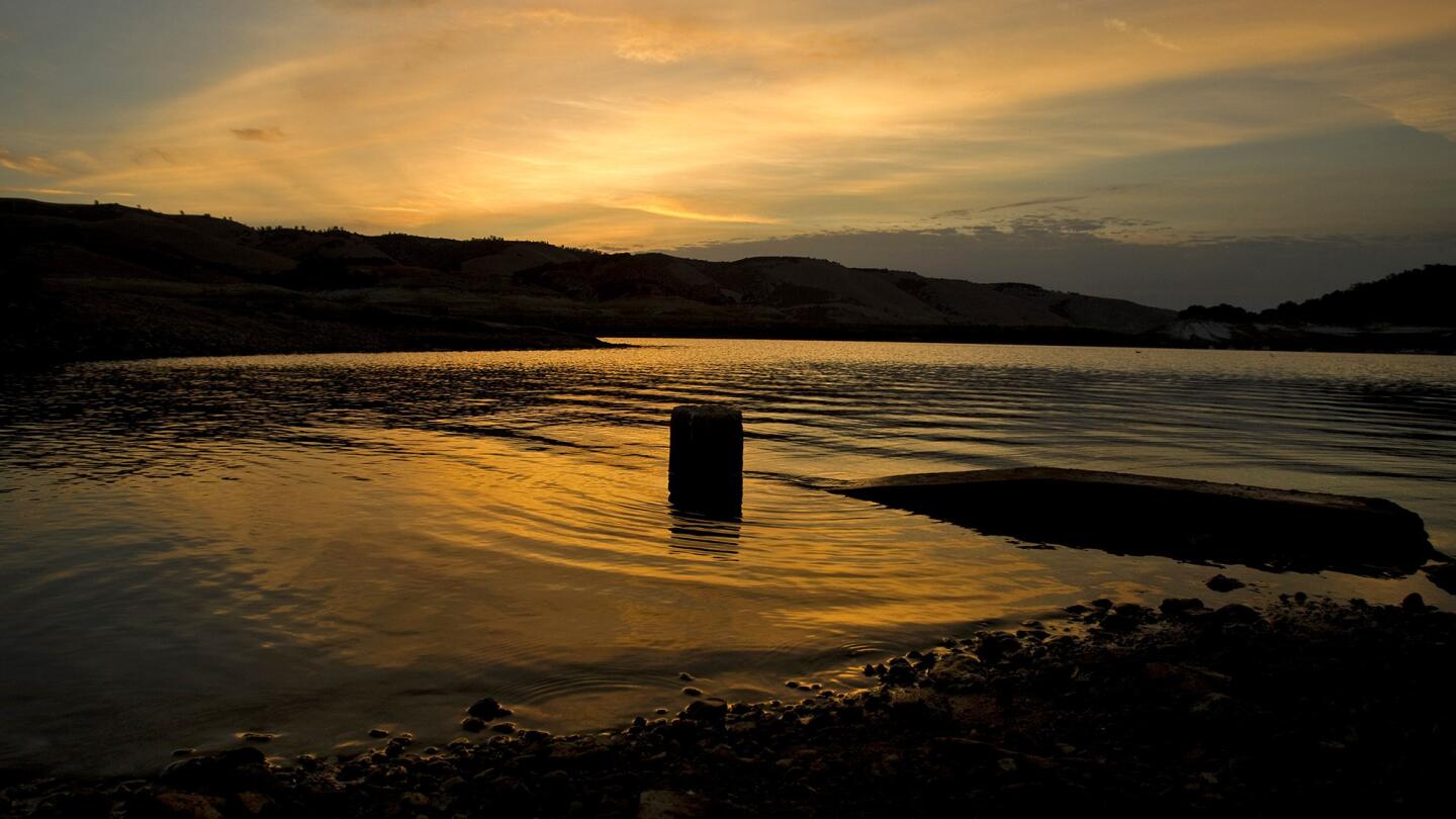
A lone buoy floats in the shallows as the sunrise reflects off the dropping water levels and receding banks of Lake San Antonio. (Allen J. Schaben / Los Angeles Times)
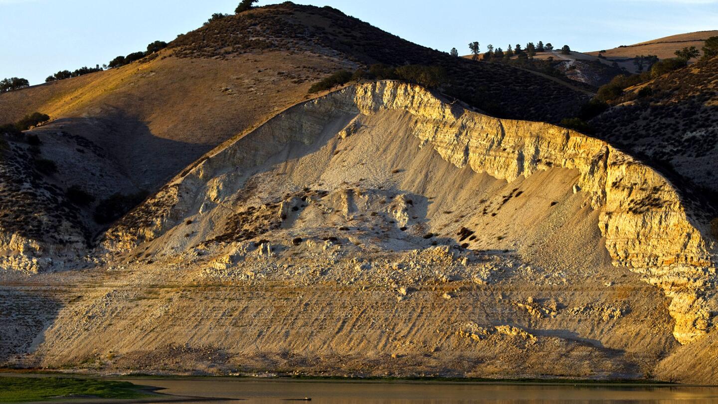
Sunset illuminates the receding banks of Lake San Antonio. (Allen J. Schaben / Los Angeles Times)
Advertisement

Sunset over Lake San Antonio in Monterey County. (Allen J. Schaben / Los Angeles Times)
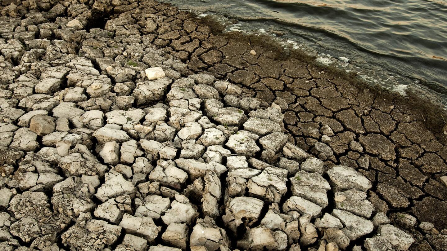
Dry, cracked earth and receding banks at Lake San Antonio in Monterey County, which is at 4% capacity. The 16-mile lake now stretches under five miles. (Allen J. Schaben / Los Angeles Times)
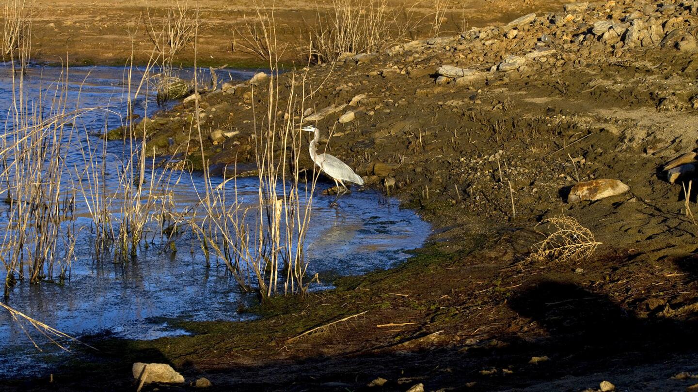
A lone blue heron forages for food on the receding banks of Diamond Valley Lake in Hemet. (Allen J. Schaben / Los Angeles Times)
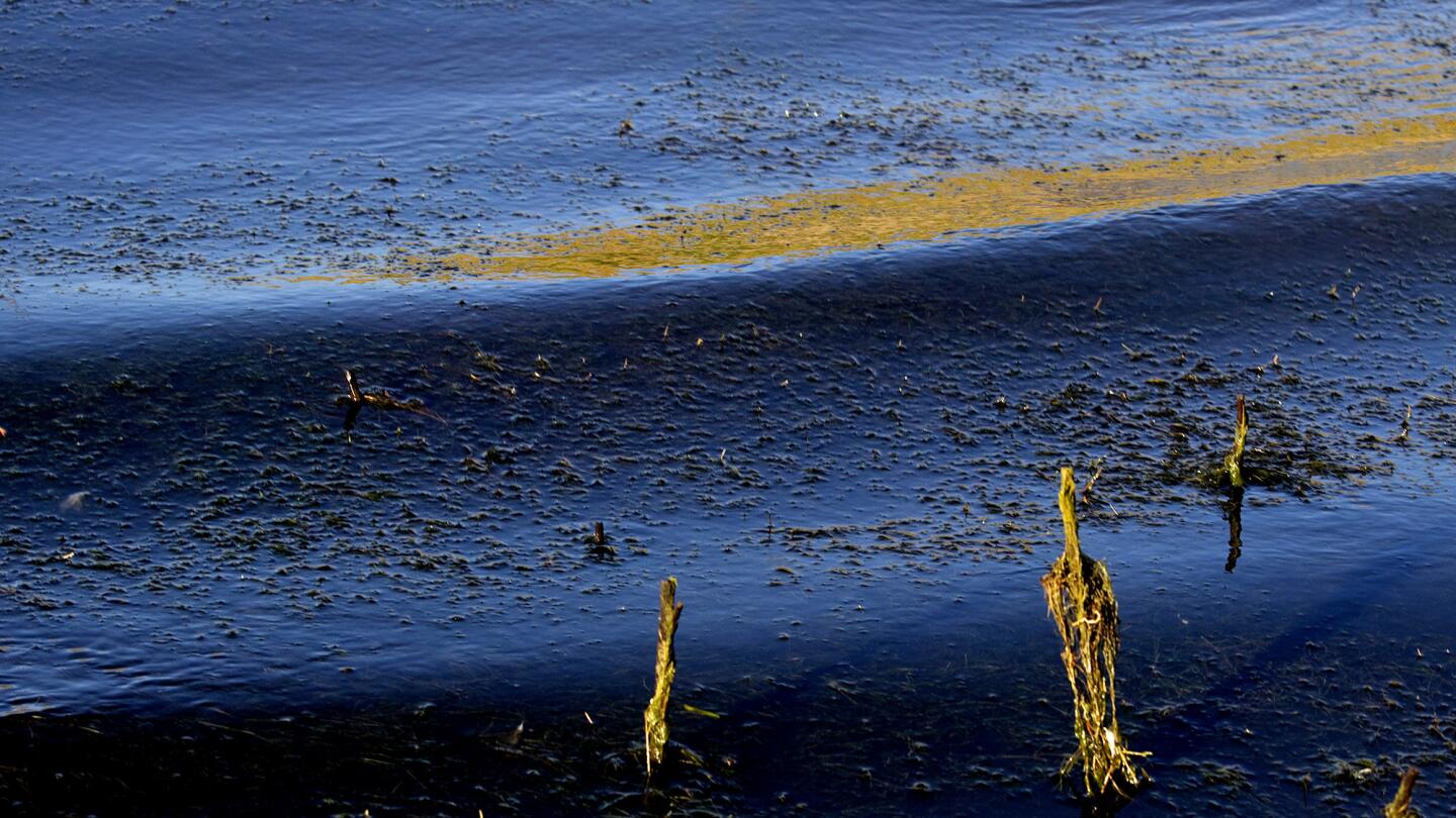
The sunrise illuminates waves rolling ashore and moss gathering on weeds along the receding banks of Diamond Valley Lake in Hemet. (Allen J. Schaben / Los Angeles Times)
Advertisement
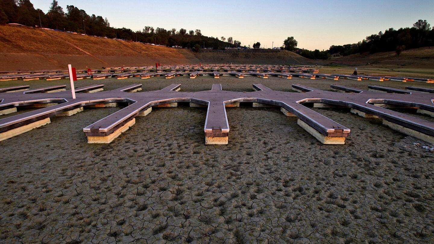
At Folsom Lake, 600 empty docks sit on dry, cracked dirt at one of the largest inland marinas in California. Levels at Southern California’s big regional reservoir, Diamond Valley Lake, are falling a foot a week. (Allen J. Schaben / Los Angeles Times)
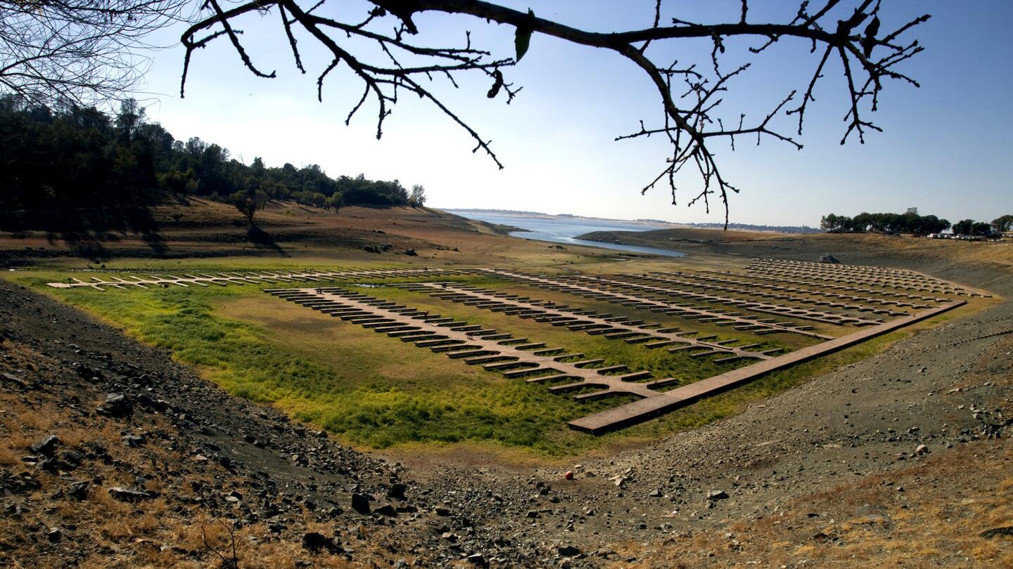
At Folsom Lake, 600 empty docks sit on dry, cracked dirt at one of the largest inland marinas in California. Levels at Southern California’s big regional reservoir, Diamond Valley Lake, are falling a foot a week. (Allen J. Schaben / Los Angeles Times)
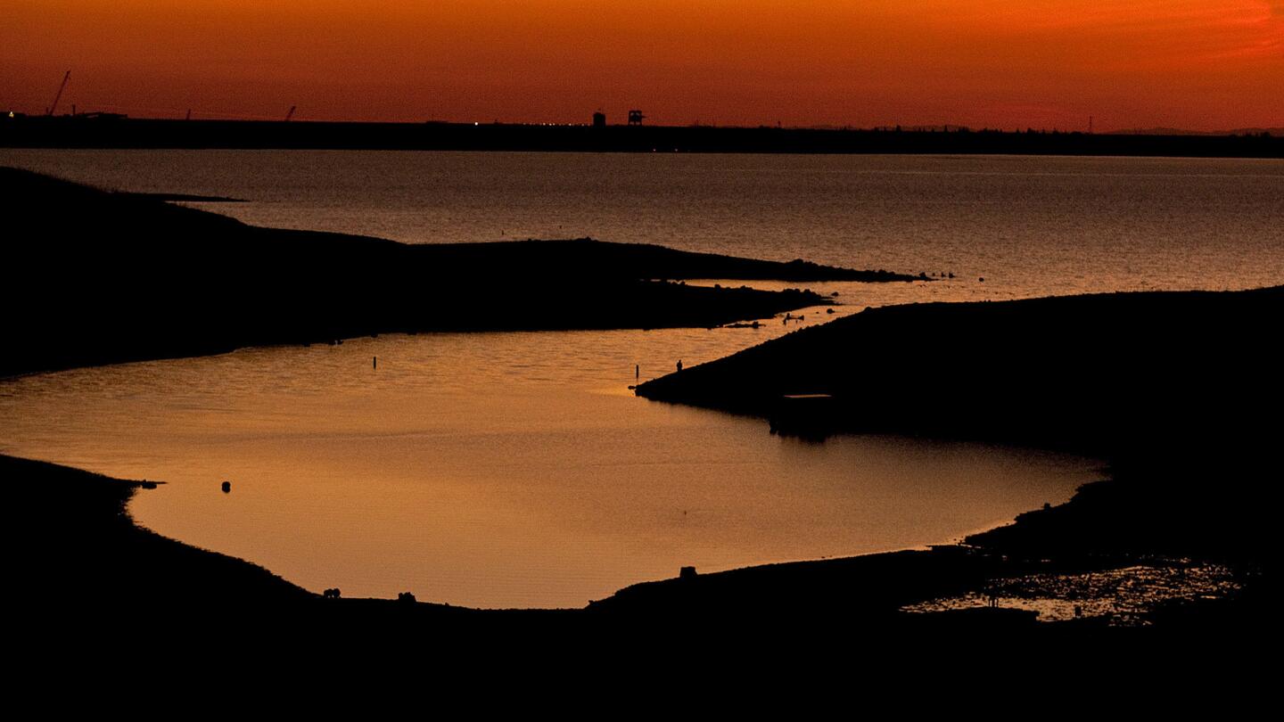
The sun sets over the declining Folsom Lake. The state’s driest water year was 1977. (Allen J. Schaben / Los Angeles Times)
Sunrise at lake San Antonio, which is about 4 percent of capacity. (Allen J. Schaben / Los Angeles Times)
Advertisement
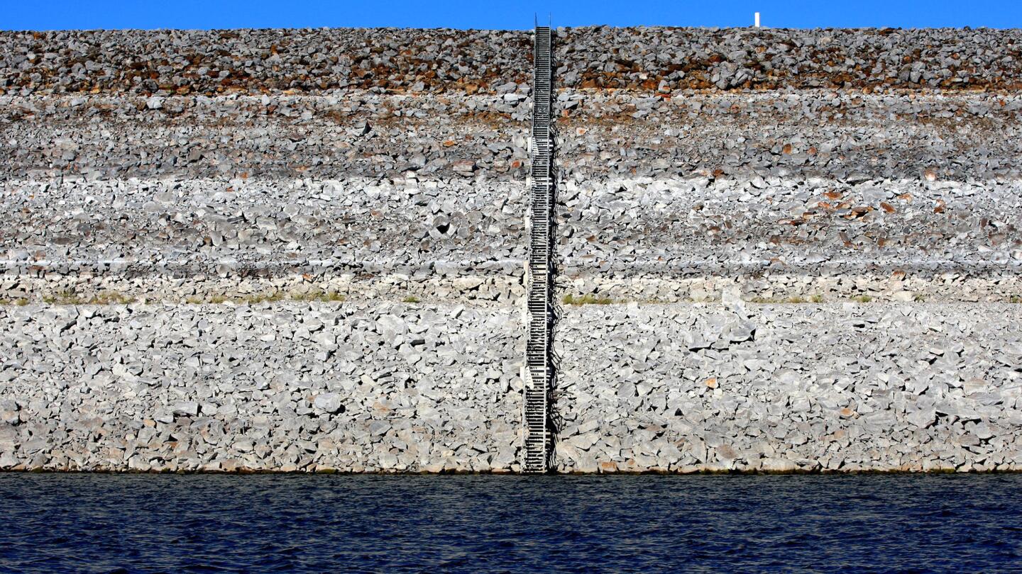
The effects of California’s ongoing drought are evident, shown by a pattern of rings on the dam at Diamond Valley Lake in Hemet. (Allen J. Schaben / Los Angeles Times)
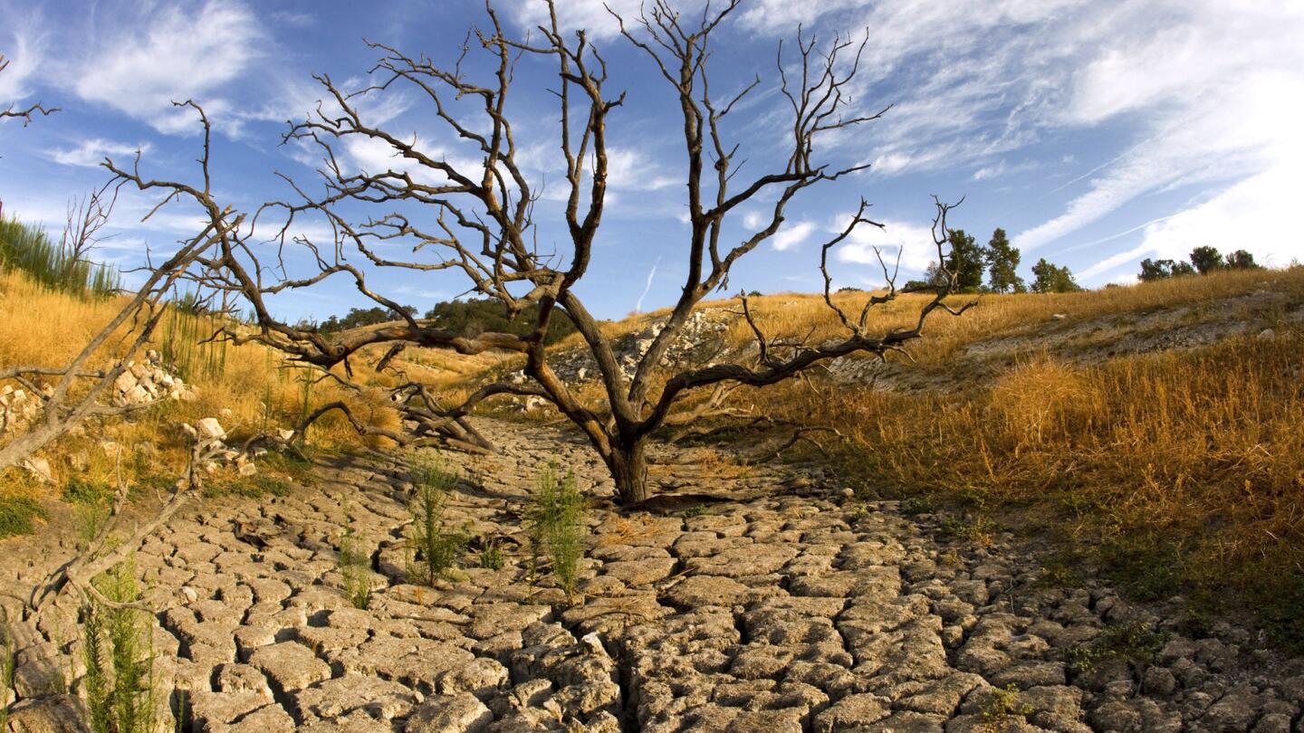
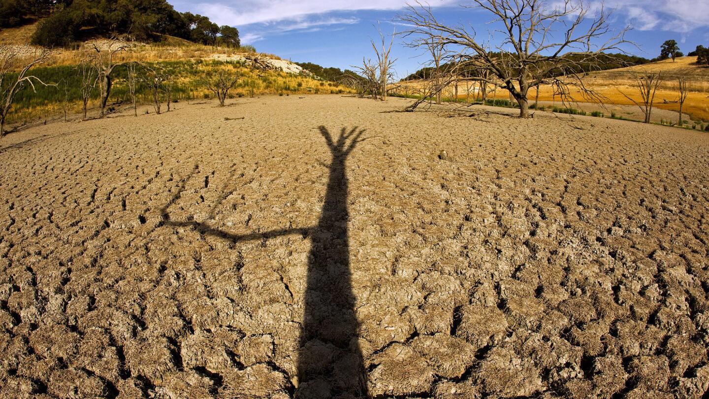
Receding water levels at Lake San Antonio, in Monterey County reveal a lone tree amidst dry, cracked earth. (Allen J. Schaben / Los Angeles Times)
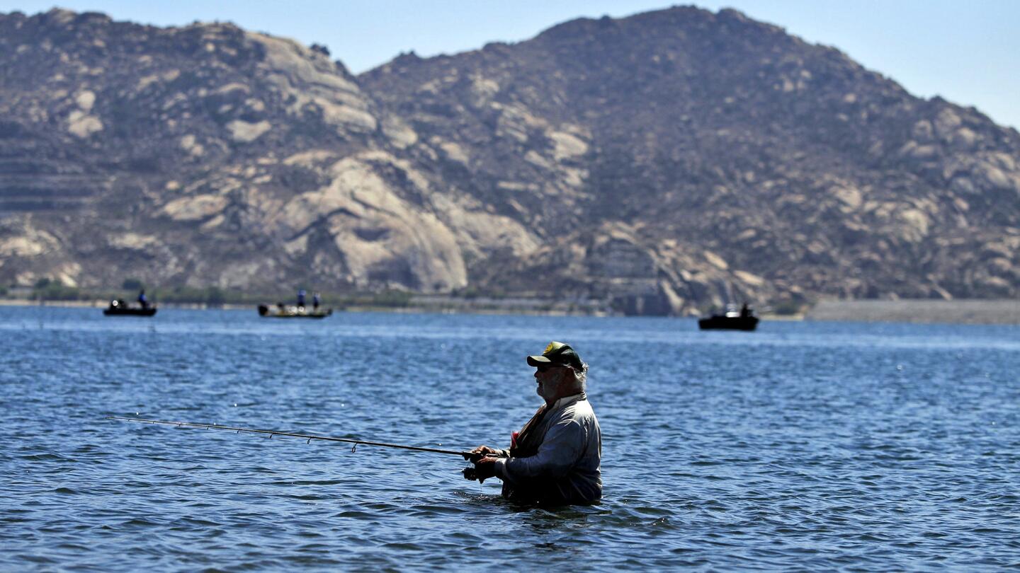
Wayne Carlton, 73, of Corona, stays cool by fishing in the shallow water of Lake Perris. (Allen J. Schaben / Los Angeles Times)
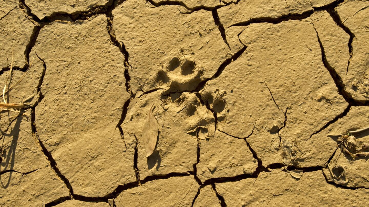
An animal’s footprint is molded into dry, cracked earth in a dry riverbed near a Castaic Lake bridge. Extremely low levels of water at sunrise at Castaic Lake and reveal the effects of the prolonged drought March 8, 2014.
(Allen J. Schaben / Los Angeles Times)Advertisement
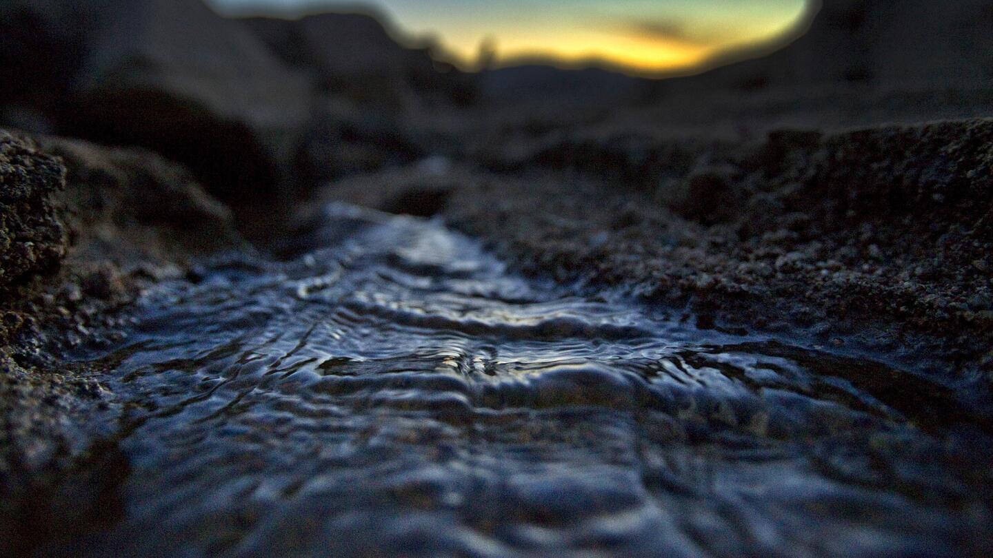
A trickle of water receding into Lake Shasta at dusk reveals signs of serious drought conditions June 22, 2014. (Allen J. Schaben / Los Angeles Times)
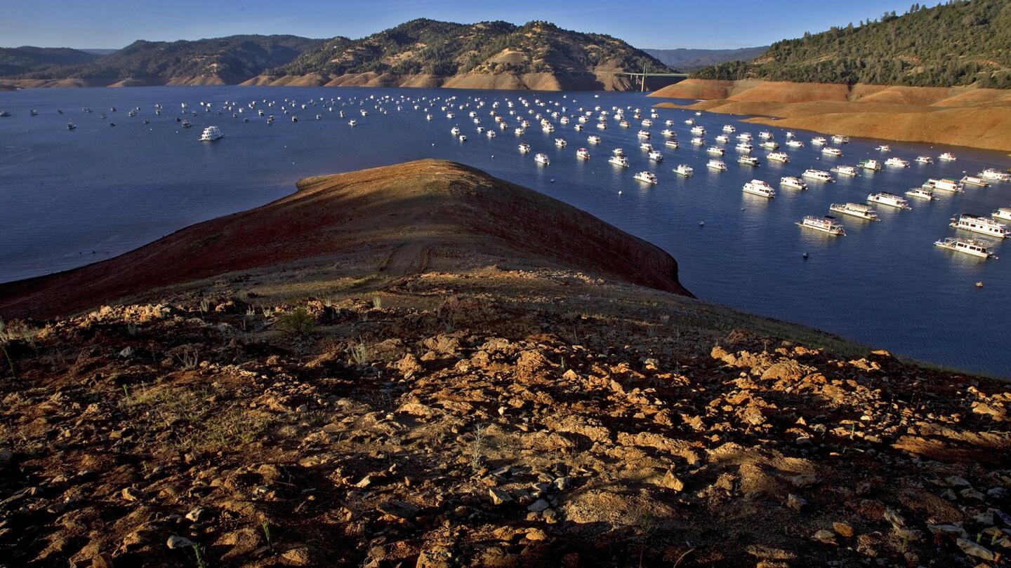
Severe drought conditions are evident as hundreds of houseboats are dwarfed by steep banks that show the water level down 160 feet from the high water mark at Bidwell Canyon Marina on Lake Oroville in June. Officials say that Lake Oroville is only at 43% of capacity. (Allen J. Schaben / Los Angeles Times)
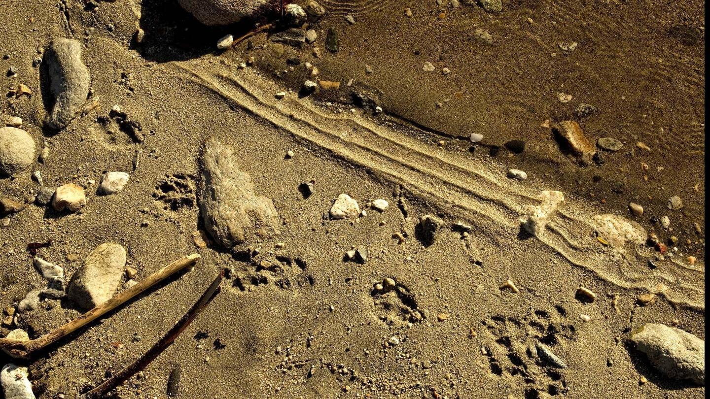
An animal’s footprints are revealed amid extremely low levels of water trickling through meandering streams of the San Gabriel River in March. The water also flows into the Morris Dam, farther downstream, holding back water from the San Gabriel Mountain watershed. (Allen J. Schaben / Los Angeles Times)
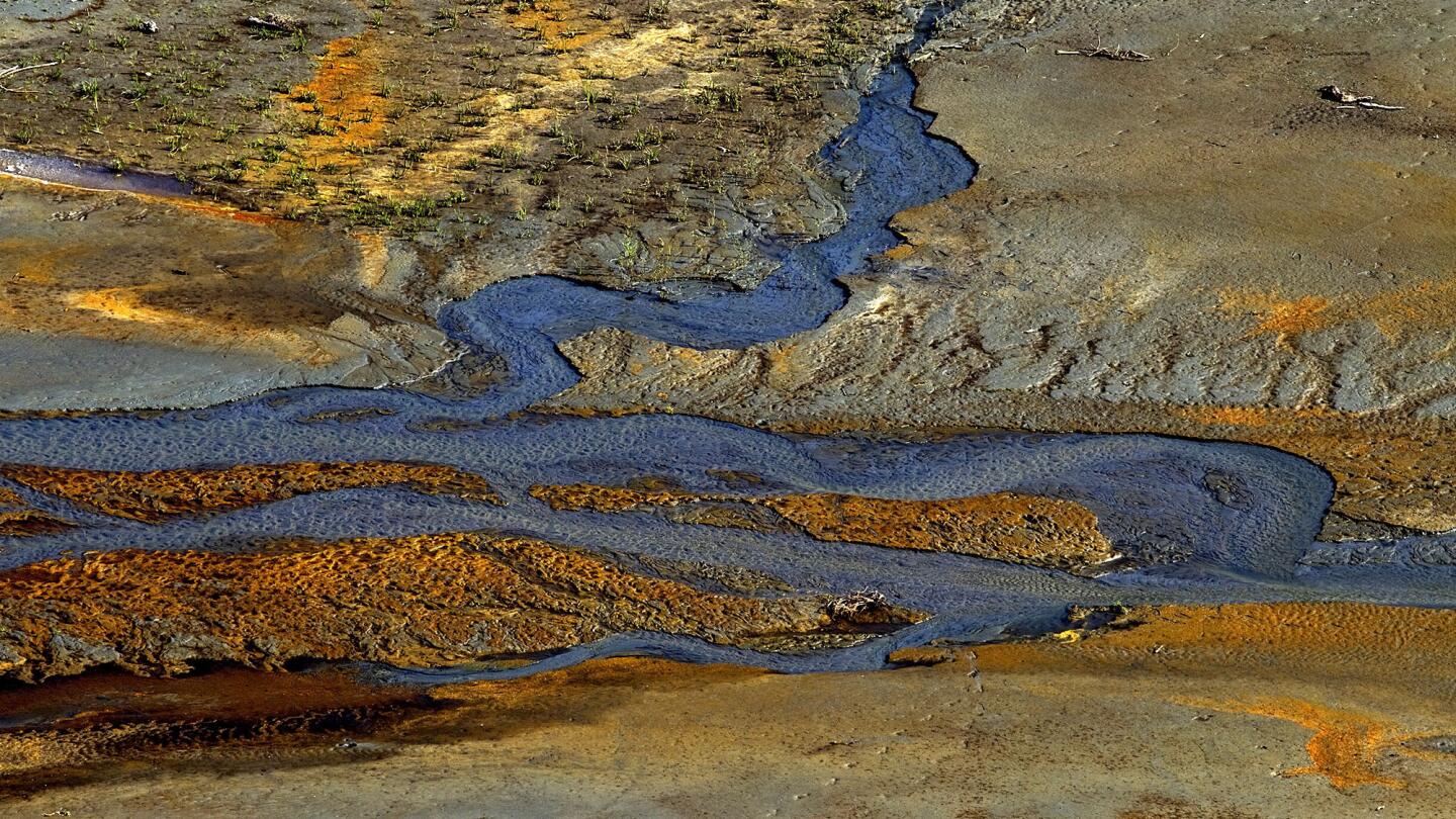
Extremely low levels of water flow through meandering streams of the San Gabriel River in March, feeding into the San Gabriel Dam in the Angeles National Forest. (Allen J. Schaben / Los Angeles Times)
Advertisement
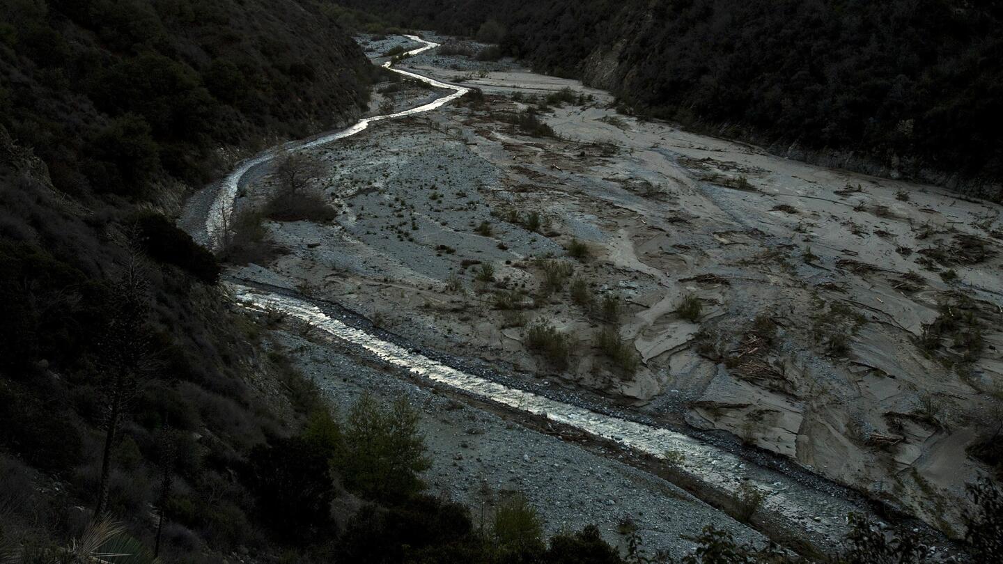
A pre-dawn glow illuminates a narrow, shallow meandering stream flowing in San Gabriel River’s East Fork in the Angeles National Forest, which reveal the effects of the prolonged drought March 12, 2014.
(Allen J. Schaben / Los Angeles Times)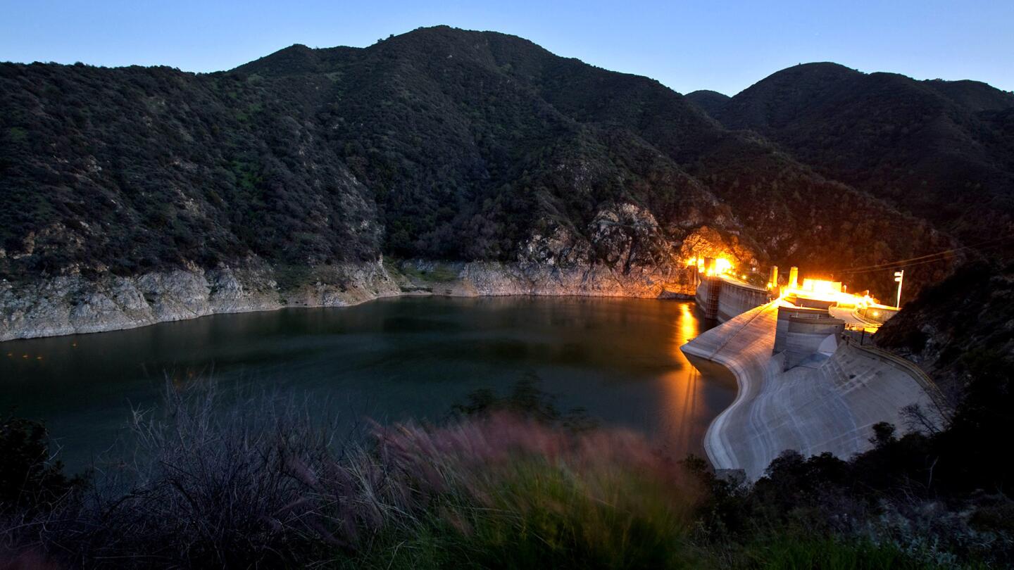
A white rocky ring reveals low levels of water in the Morris Dam, just north of Azusa in the Angeles National Forest, reflecting the effects of the prolonged drought March 12, 2014.
(Allen J. Schaben / Los Angeles Times)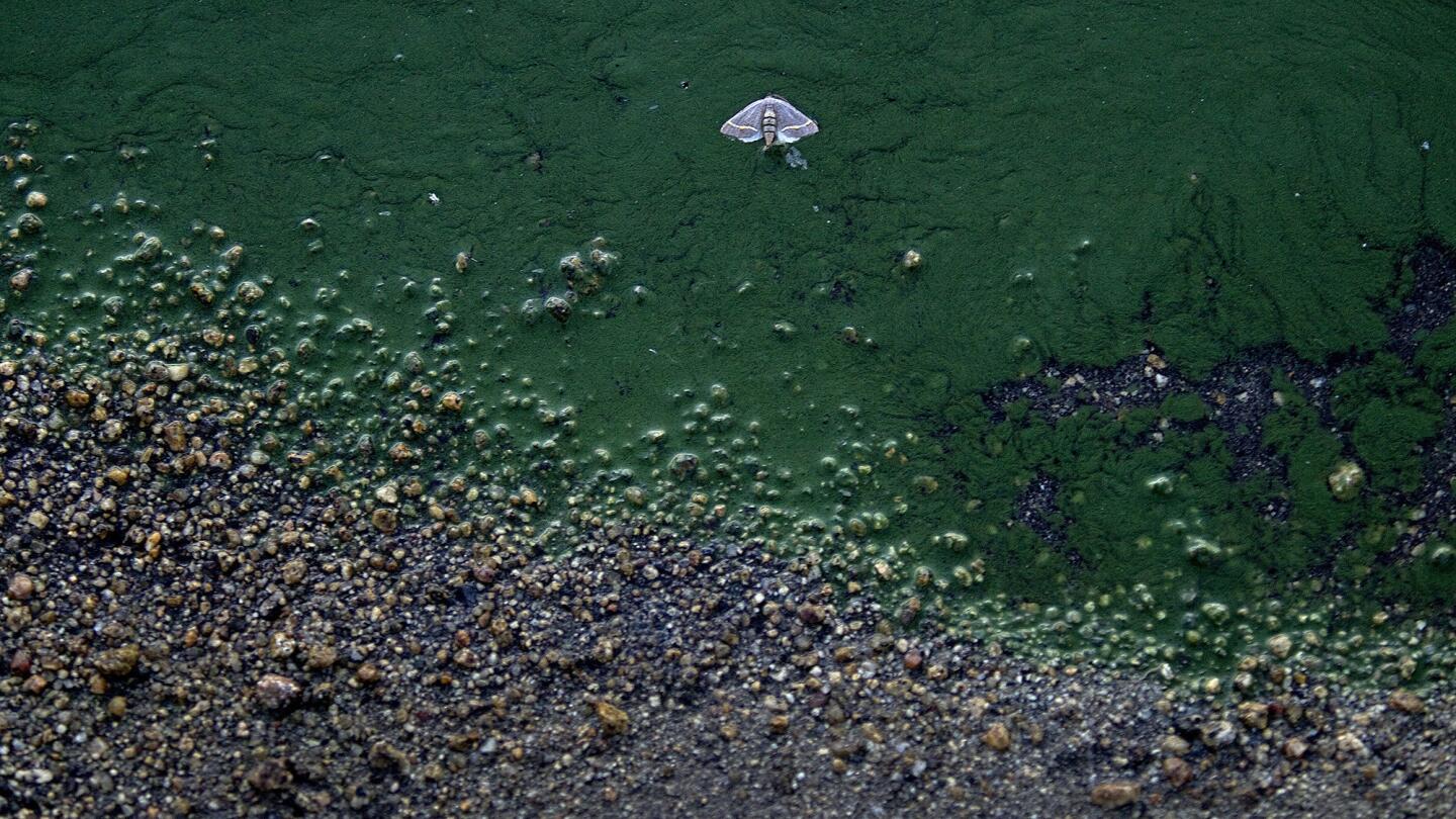
A moth falls victim to thick algae along the low banks of Lake Hemet on June 3, 2014. Lake Hemet, part of the San Bernardino National Forest, is a water storage reservoir in the San Jacinto Mountains in Riverside County. It is owned and operated by the Lake Hemet Municipal Water District. (Allen J. Schaben / Los Angeles Times)
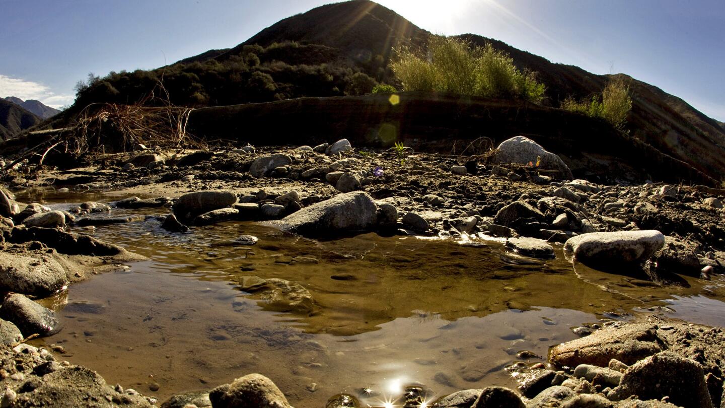
Puddles of water are all that remain in this photo taken March of the San Gabriel River’s West Fork in the Angeles National Forest. (Allen J. Schaben / Los Angeles Times)
Advertisement
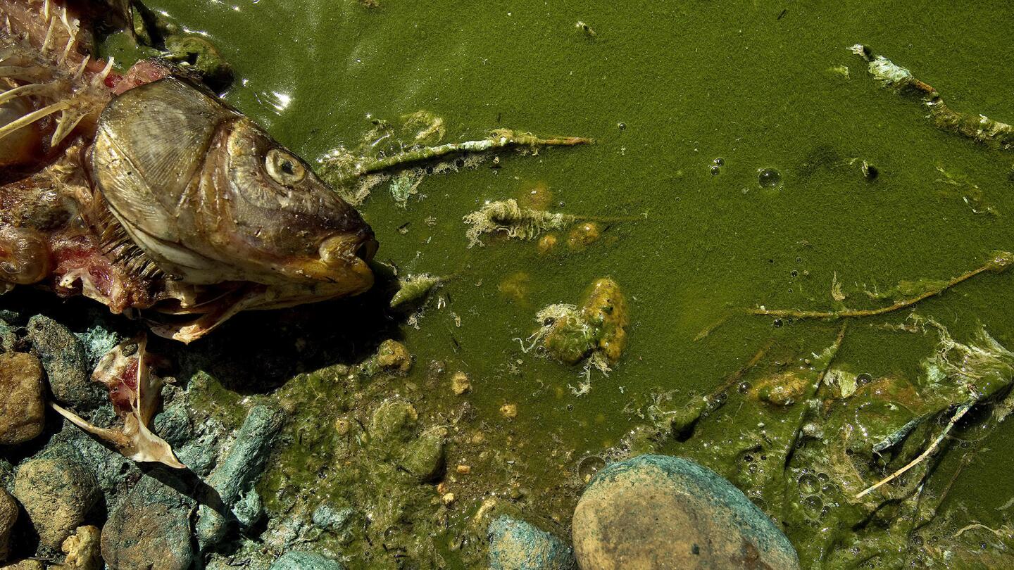
A dead fish lies in rocks and algae along the low banks of Lake Hemet on June 3, 2014. (Allen J. Schaben / Los Angeles Times)
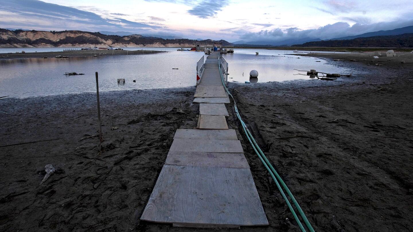
Pastel colors at dawn reveal a receding Lake Cachuma in Santa Barbara County, due to California’s sustained drought conditions. Plywood planks are used to reach the the docks at the marina, which are hundreds of feet from the high-water shoreline. As the lake continues to recede, workers move the dock farther away from shore. Lake Cachuma, a rain-dependent lake, was about 40% of capacity as of Feb. 26, 2014. Lake Cachuma diverts a significant flow downstream to help maintain habitat for the federally endangered steelhead trout that once claimed the Santa Ynez River and its tributaries. (Allen J. Schaben / Los Angeles Times)
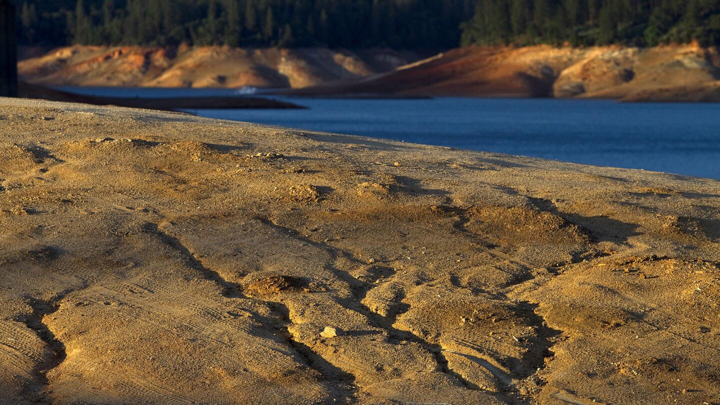
Dry ruts in a island reveal where the water level used to be at Lake Shasta due to serious drought conditions. Lake Shasta is at 31% of capacity due to the ongoing drought and is likely to get worse.
(Allen J. Schaben / Los Angeles Times)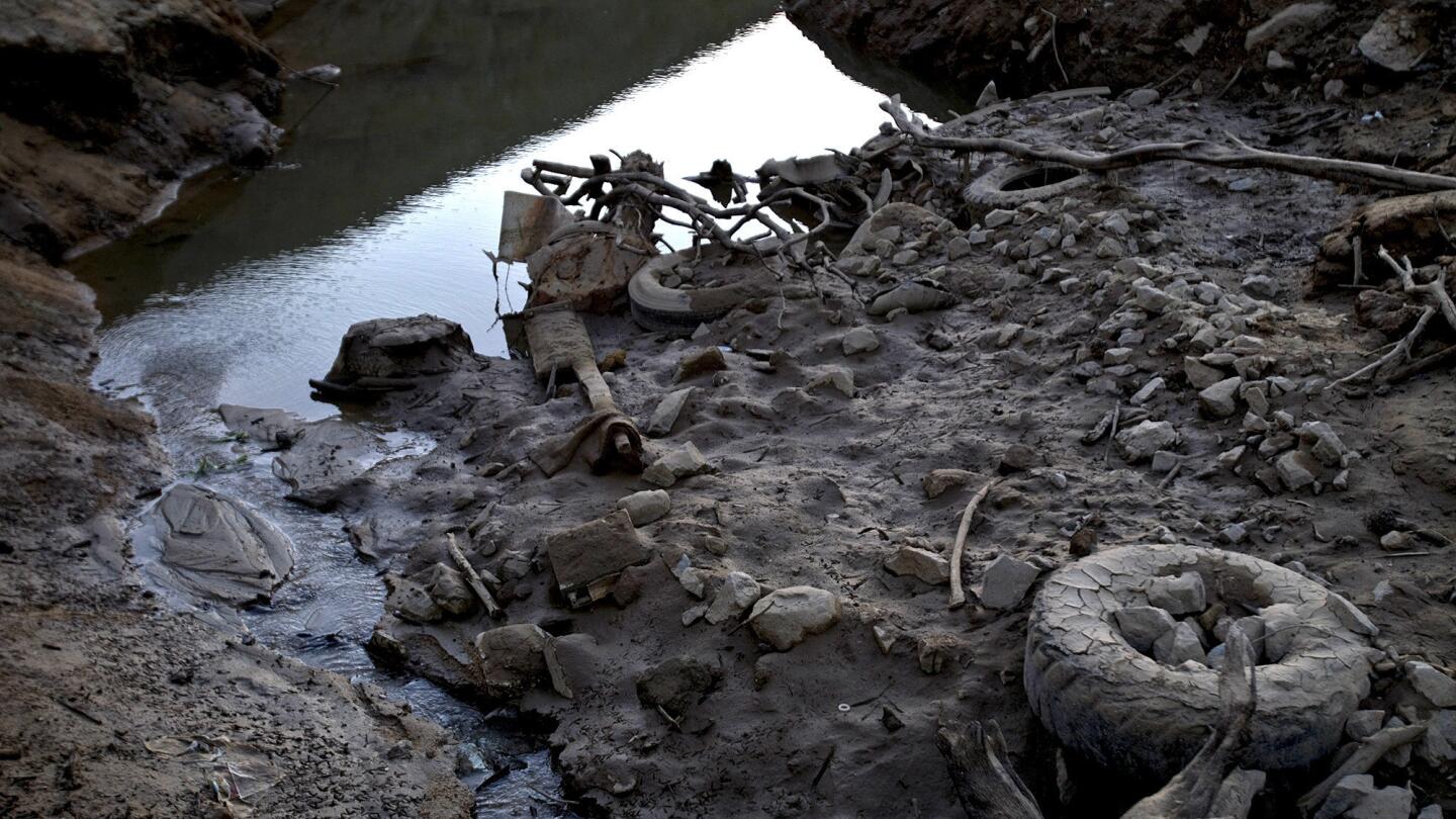
Lake bottom debris are revealed as a narrow body of water recedes into Lake Shasta at dusk due to serious drought conditions June 22, 2014. (Allen J. Schaben / Los Angeles Times)
Advertisement
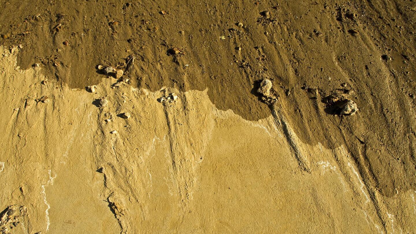
At sunrise, traces of water in a dry riverbed near a Castaic Lake bridge. Extremely low levels of water at Castaic Lake reveal the effects of the prolonged drought March 8, 2014. (Allen J. Schaben / Los Angeles Times)
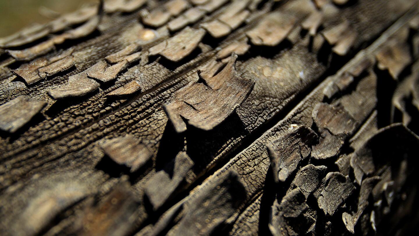
Severe drought conditions are evident as dried bark peels in the hot sun where water levels are down 160 feet from the high water mark at Lake Oroville June 21, 2014. Officials say Lake Oroville is at 43% capacity and likely to get worse, but is not as bad as the drought of 1976-77.
(Allen J. Schaben / Los Angeles Times)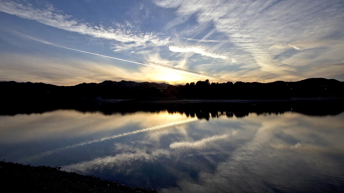
Extremely low levels of water at sunset at Castaic Lake reveal the effects of the prolonged drought March 8, 2014. (Allen J. Schaben / Los Angeles Times)
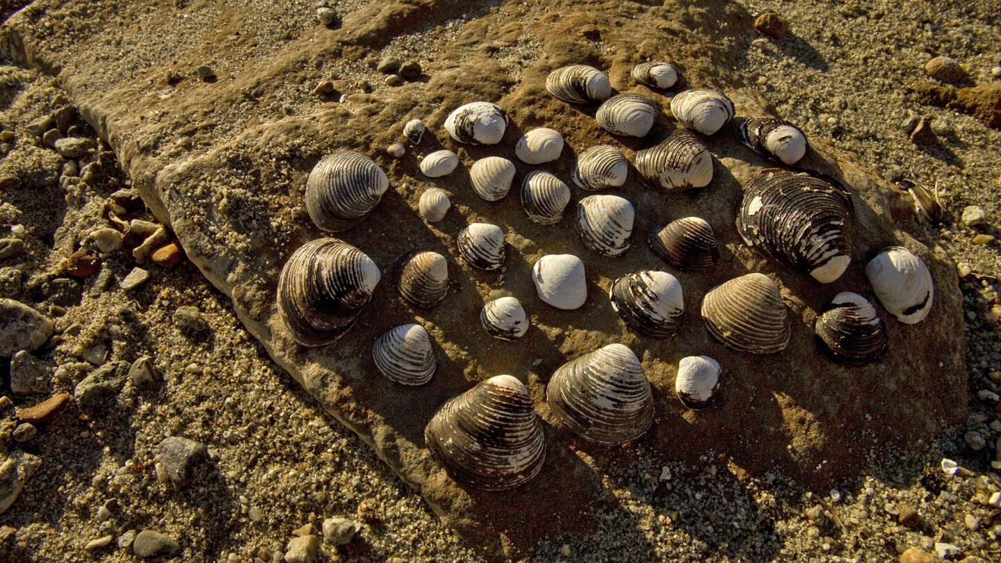
Shells, rocks and sand are exposed amid extremely low water levels at Castaic Lake Recreation Area and reveal the effects of the prolonged drought March 8, 2014. (Allen J. Schaben / Los Angeles Times)
Advertisement
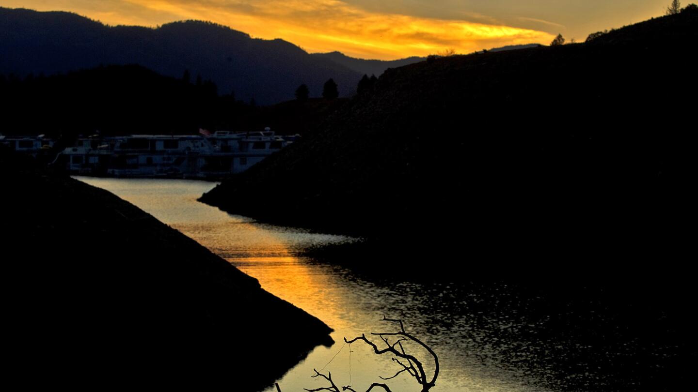
Fallen tree branches and a narrow body of water receding into Lake Shasta at dusk reveal signs of serious drought conditions June 22, 2014. Lake Shasta is at 37% of capacity due to the ongoing drought and is likely to get worse.
(Allen J. Schaben / Los Angeles Times)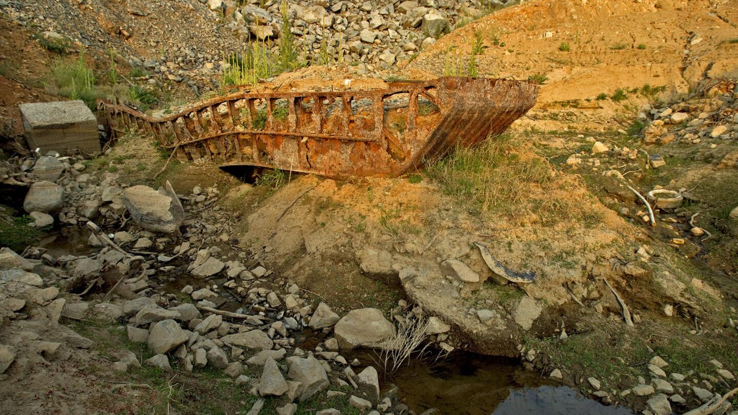
A sunken barge is revealed as water recedes into Lake Shasta at dusk due to serious drought conditions June 22, 2014. (Allen J. Schaben / Los Angeles Times)
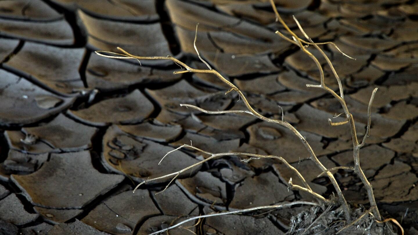
Little rainfall and summer heat leave patterns of branches and cracked, dry mud under a bridge of the South Fork of the San Jacinto River, which feeds into Lake Hemet June 3, 2014. (Allen J. Schaben / Los Angeles Times)
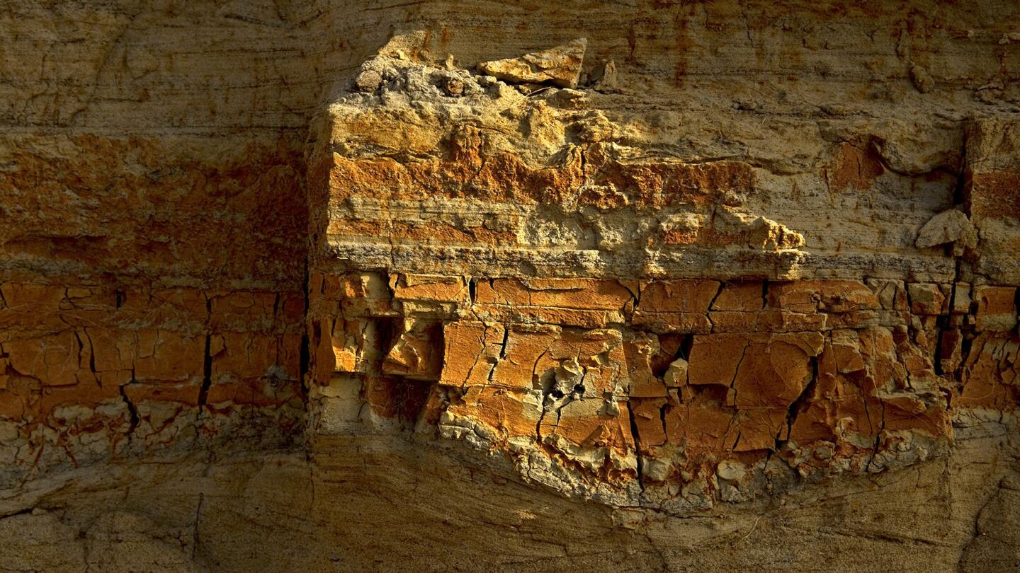
Dry, cracked riverbank patterns in an area previously underwater, reveals extremely low water levels at Lake Piru and the effects of the prolonged drought May 7, 2014. Lake Piru, an artificial lake located in Los Padres National Forest of Ventura County, depends upon rainfall. The Santa Felicia Dam was constructed on Piru Creek, which is a tributary of the Santa Clara River. (Allen J. Schaben / Los Angeles Times)
Advertisement
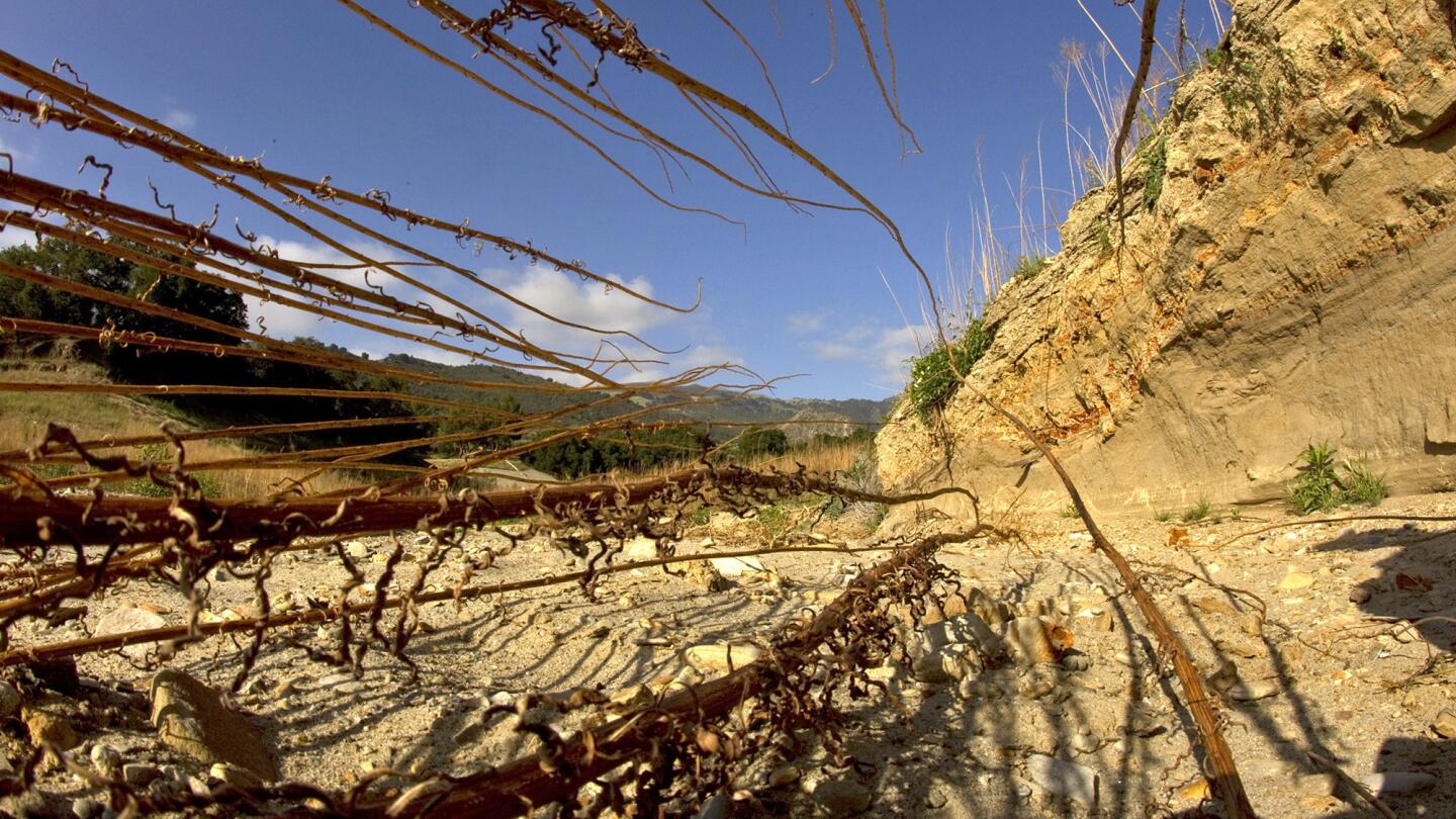
Dead weeds and dry, cracked riverbank patterns in an area previously underwater reveal extremely low water levels at Lake Piru and the effects of the prolonged drought May 7, 2014. (Allen J. Schaben / Los Angeles Times)
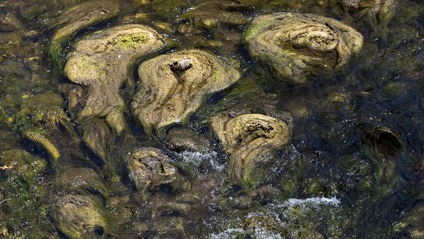
Algae grows in patterns, revealing extremely low water levels downstream in Piru Creek trickling from Lake Piru, showing the effects of the prolonged drought May 8, 2014. (Allen J. Schaben / Los Angeles Times)
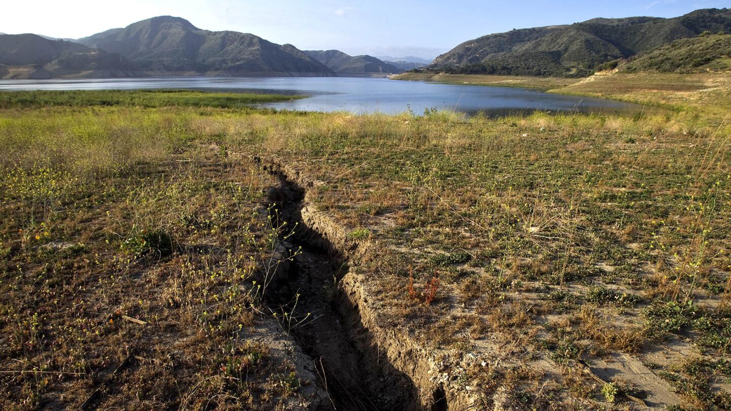
A small stream is now just a trench, revealing extremely low water levels at Lake Piru, showing the effects of the prolonged drought May 7, 2014. (Allen J. Schaben / Los Angeles Times)
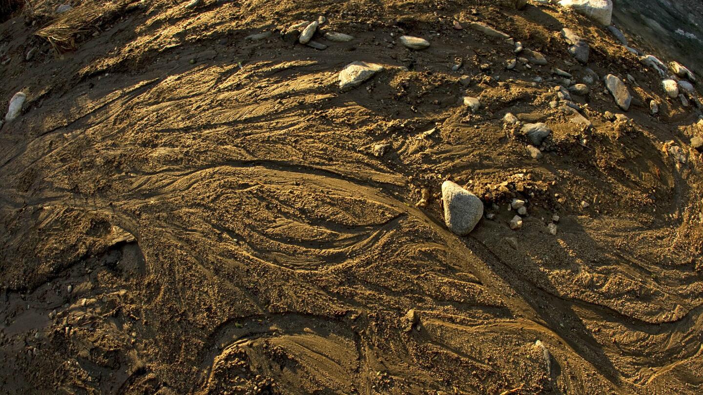
Extremely low levels of water flowing through meandering streams of East Fork of the San Gabriel River in the Angeles National Forest show the effects of the prolonged drought March 12, 2014. (Allen J. Schaben / Los Angeles Times)
Advertisement

Patterns form in algae along the low banks of Lake Hemet on June 3, 2014. (Allen J. Schaben / Los Angeles Times)
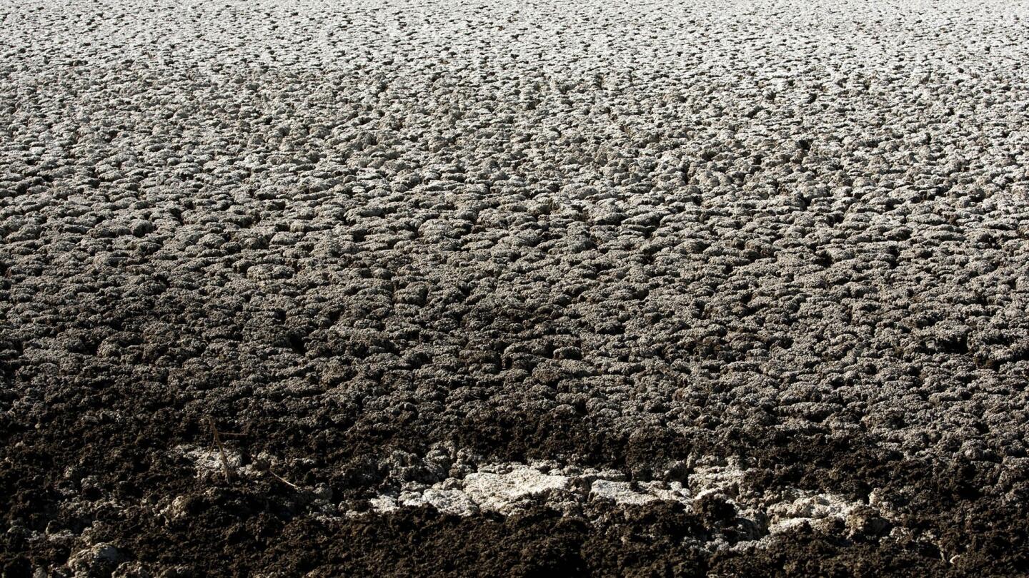
Cracked, white earth remains as water continues to recede at Borax Lake, the site of first borax mine in the United States, June 23, 2014 in Clearlake, Calif. (Allen J. Schaben / Los Angeles Times)
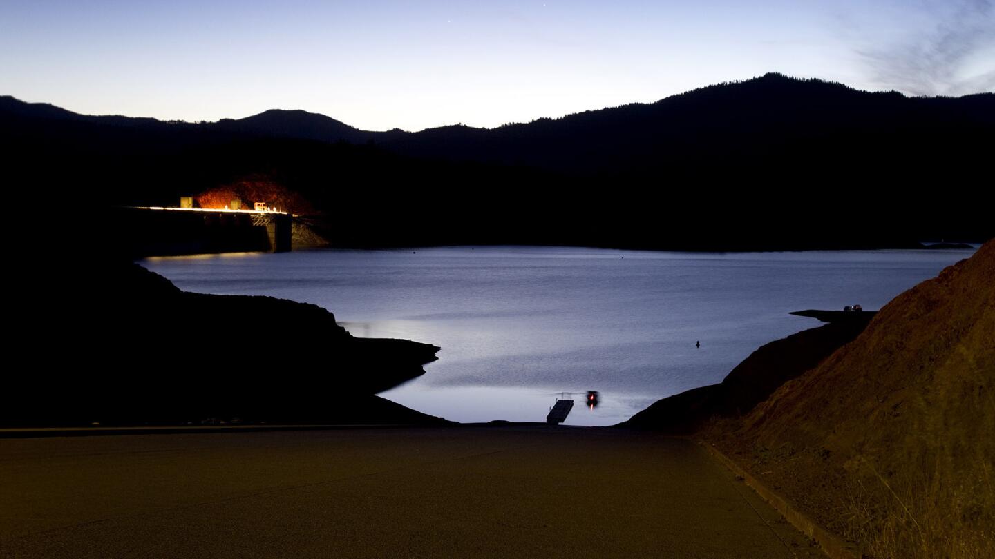
Dusk falls as a lone boater heads out on Lake Shasta, near the Lake Shasta Dam amid serious drought conditions June 22, 2014. (Allen J. Schaben / Los Angeles Times)

The low water levels at Lake Shasta reveal signs of serious drought conditions June 22, 2014. (Allen J. Schaben / Los Angeles Times)
Advertisement
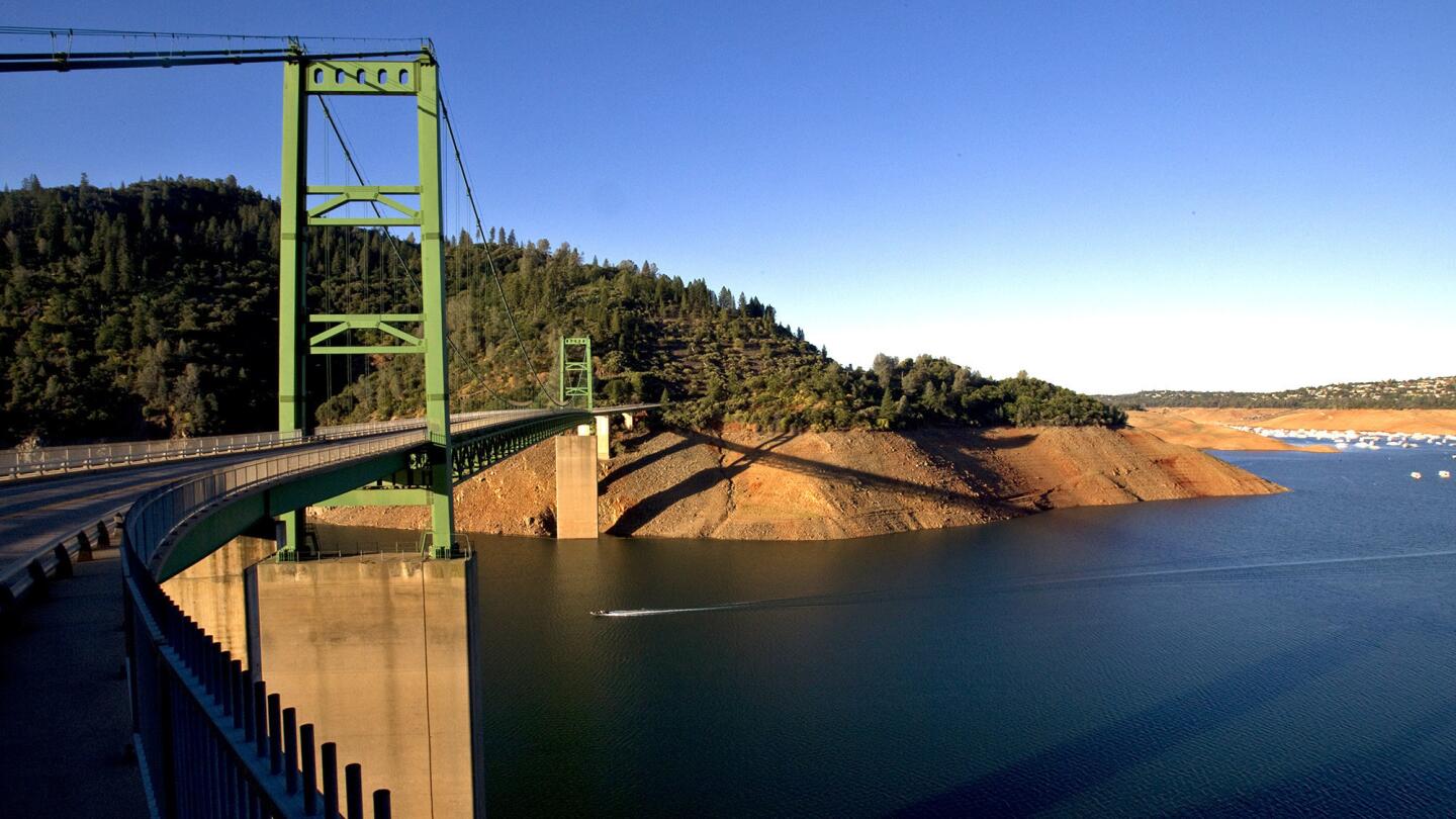
A boater speeds under the New Bidwell Bar Suspension Bridge as severe drought conditions show the water down 160 feet from the high water mark at Lake Oroville on June 21, 2014. Officials say Lake Oroville is at 43% capacity and is likely to get worse, but is not as bad as the drought of 1976-77.
(Allen J. Schaben / Los Angeles Times)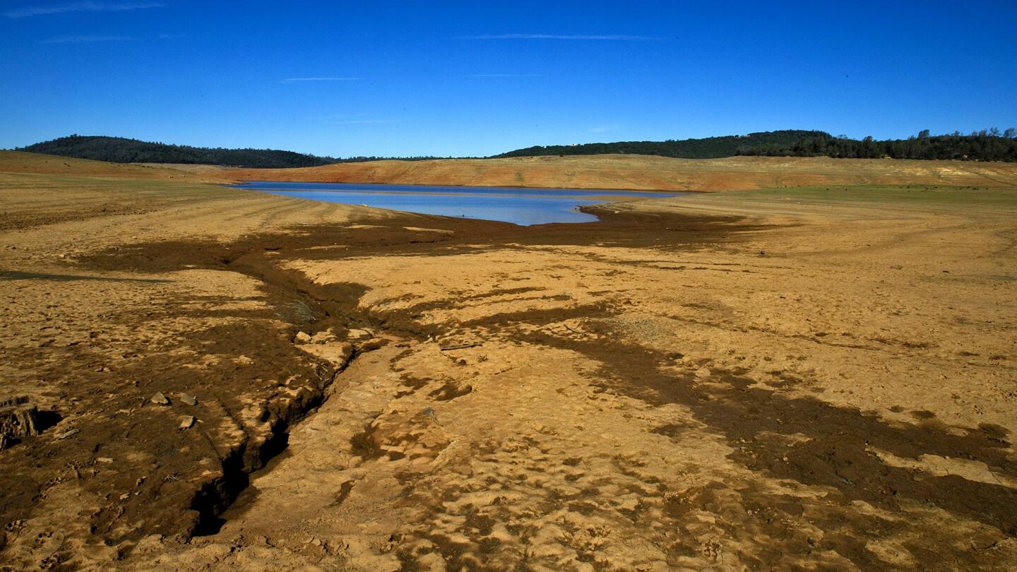
Severe drought conditions are evident by dry, cracked earth, ruts and the receding water, which was down 160 feet from the high water mark at Lake Oroville June 21, 2014. (Allen J. Schaben / Los Angeles Times)
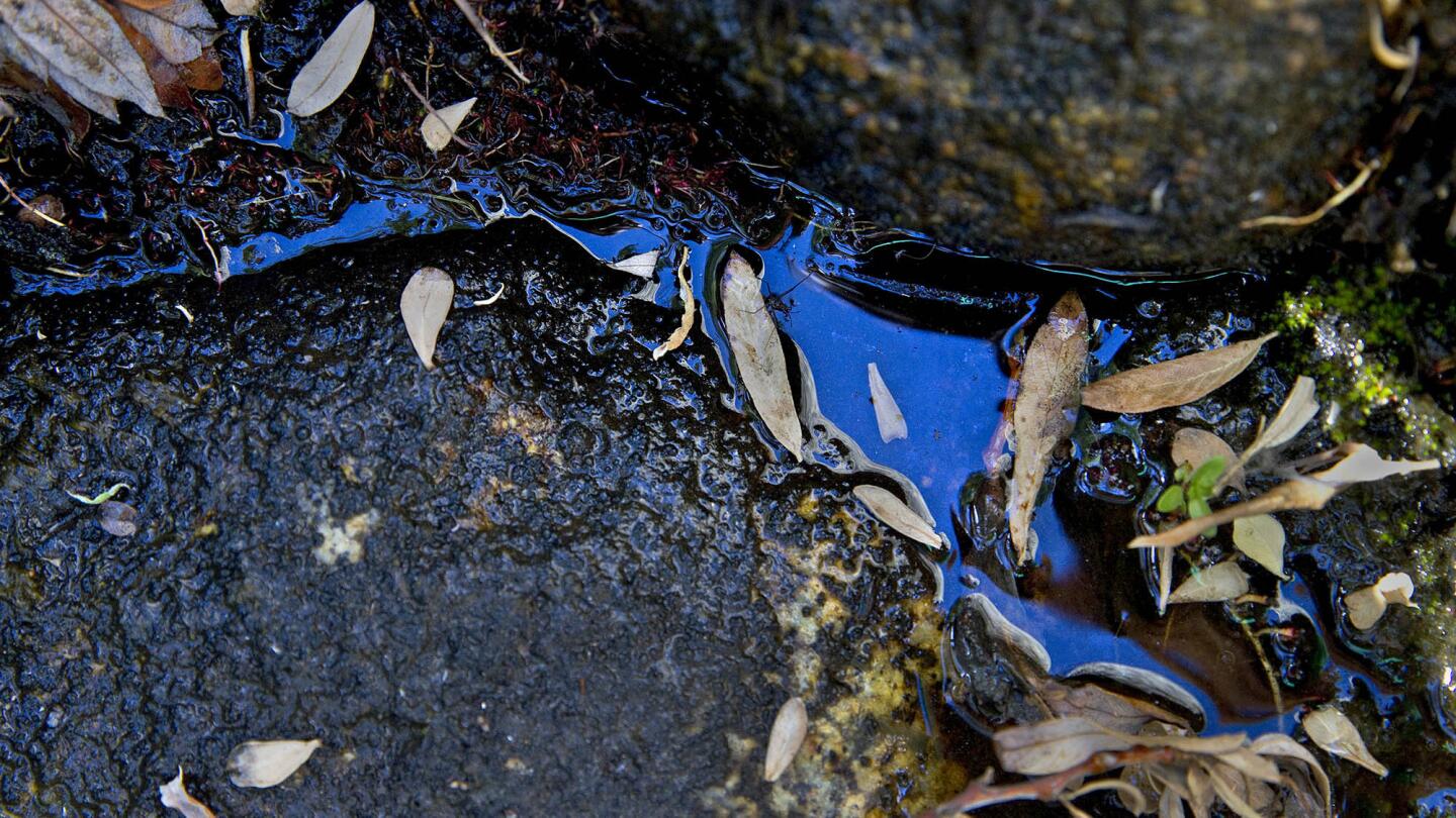
Little rainfall and summer heat have left little water in the mostly dried up Hurkey Creek, which feeds into Lake Hemet on June 3, 2014. Lake Hemet, part of the San Bernardino National Forest, is a water storage reservoir in the San Jacinto Mountains in Riverside County. It is owned and operated by the Lake Hemet Municipal Water District. (Allen J. Schaben / Los Angeles Times)
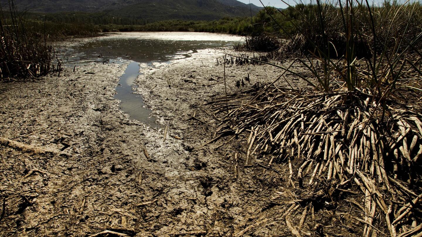
Little rainfall and summer heat have left a pattern of weeds and algae in the South Fork of the San Jacinto River, which feeds into Lake Hemet on June 3, 2014. (Allen J. Schaben / Los Angeles Times)
Advertisement
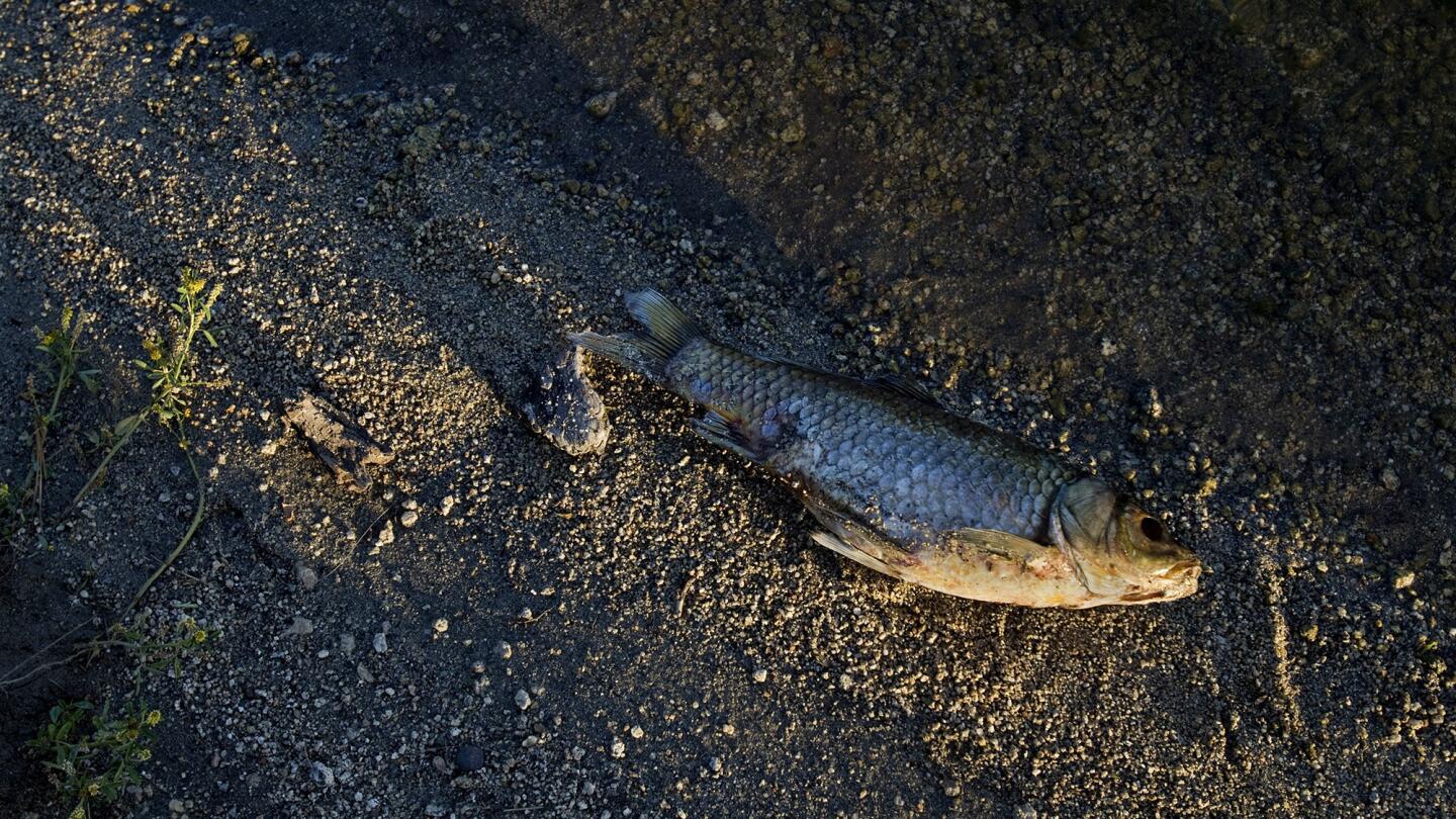
A dead fish lays on the bank of Lake Hemet on June 3, 2014. (Allen J. Schaben / Los Angeles Times)
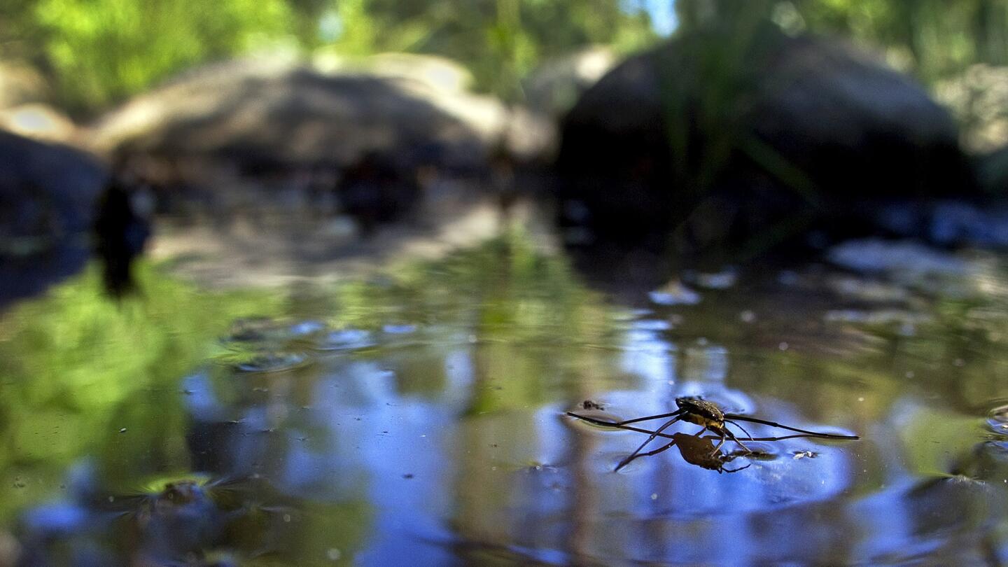
A water strider crosses a puddle that remains in the mostly dry Hurkey Creek, which feeds into Lake Hemet on June 3, 2014. (Allen J. Schaben / Los Angeles Times)
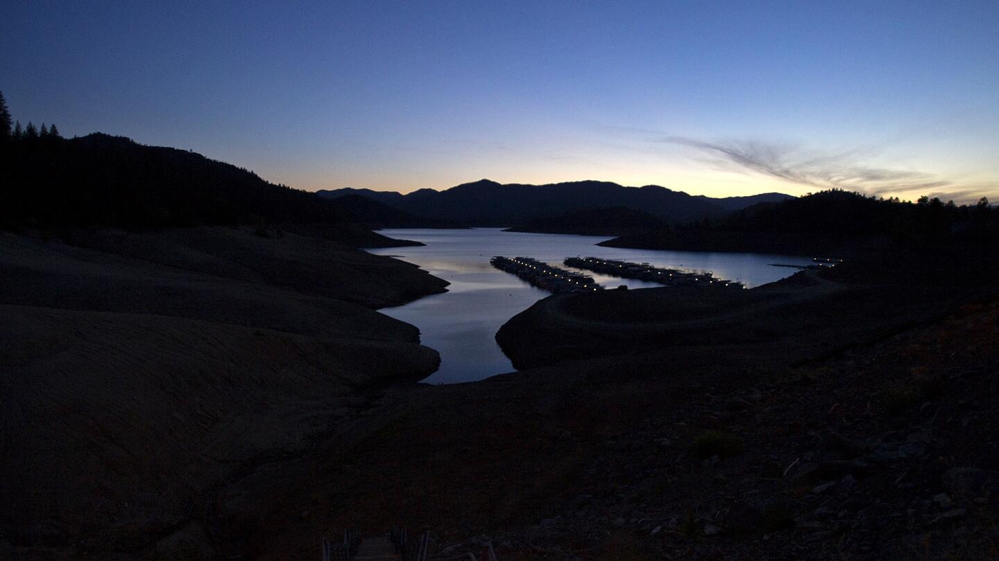
Dusk falls on the receding Lake Shasta and the Bridge Bay Marina, revealing signs of serious drought conditions June 22, 2014. (Allen J. Schaben / Los Angeles Times)
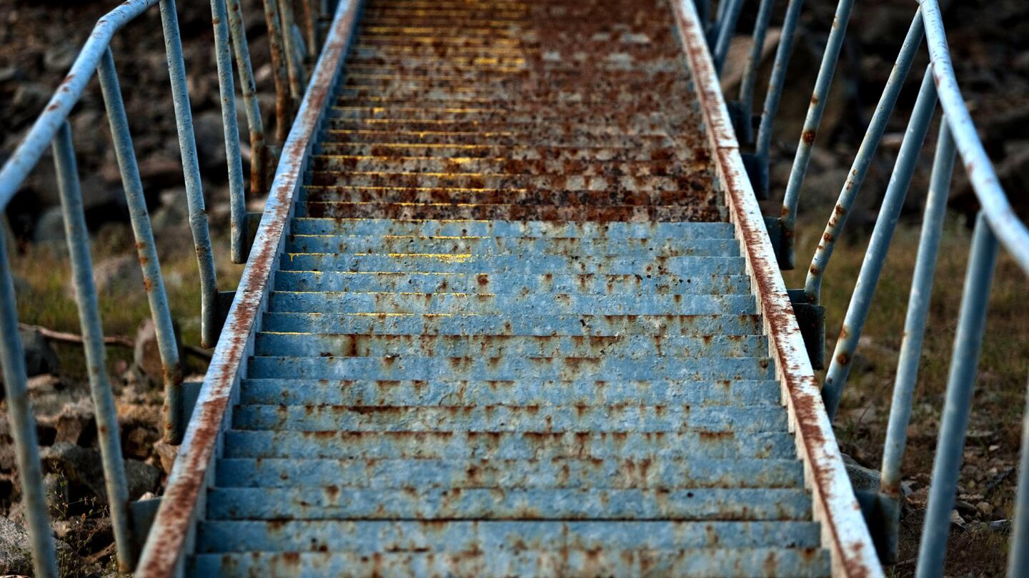
A pre-dawn glow illuminates a rusty staircase showing previous water levels at Lake Shasta, revealing signs of serious drought conditions June 22, 2014. (Allen J. Schaben / Los Angeles Times)
Advertisement
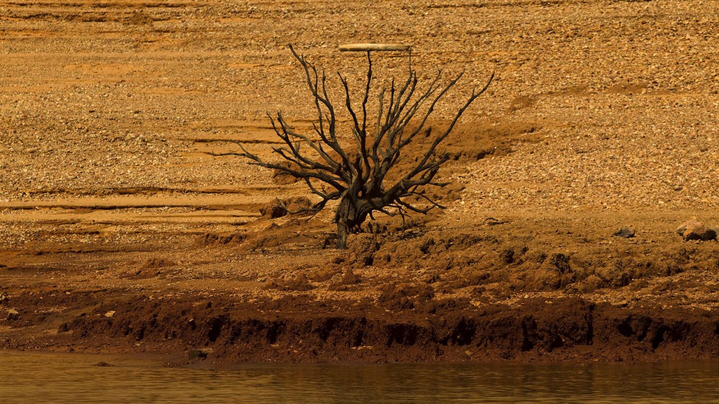
Sunrise illuminates previous signs of life amid the dry, steep banks due to drought conditions at Lake Shasta on June 22, 2014. (Allen J. Schaben / Los Angeles Times)
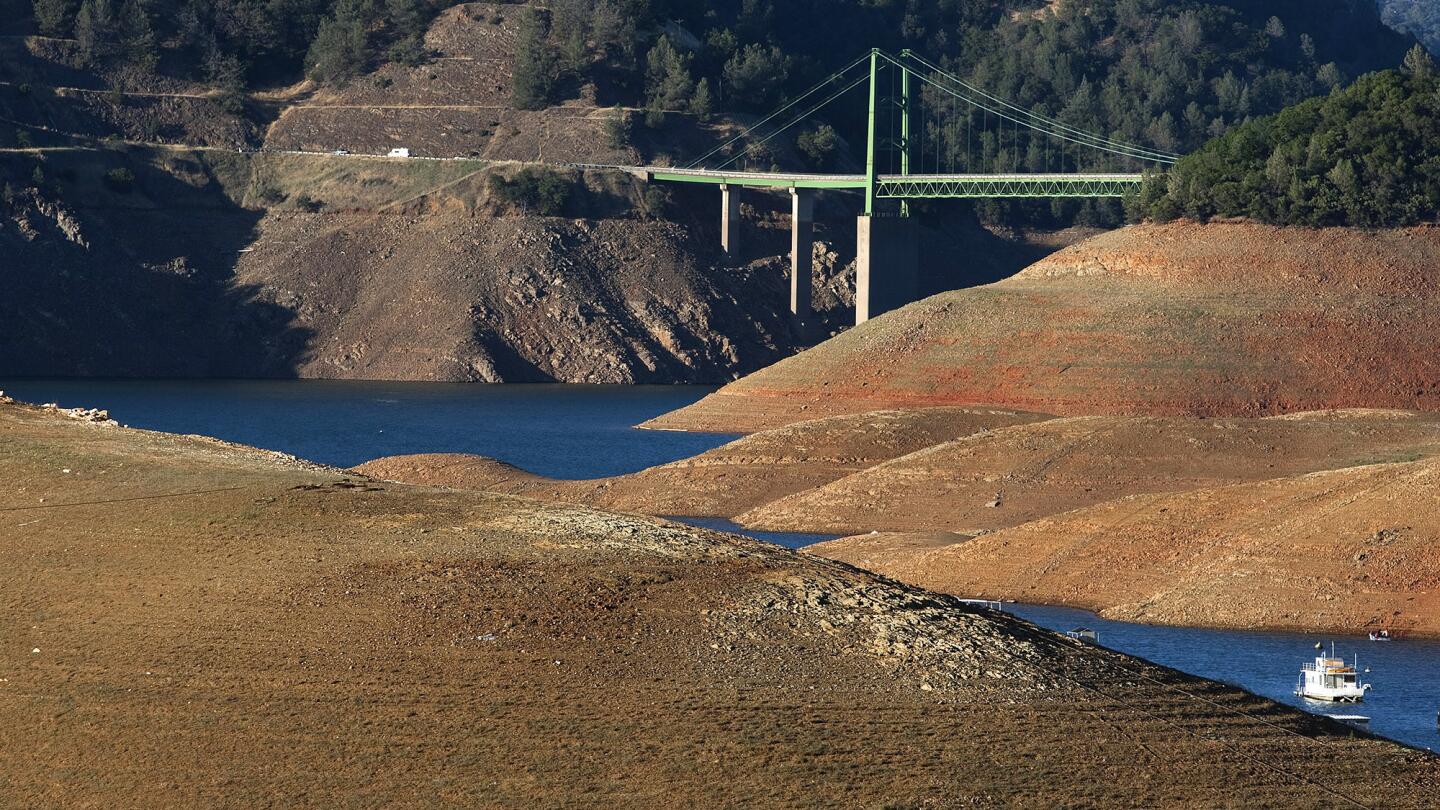
Severe drought conditions are evident as a lone houseboat is dwarfed by steep banks that show the water level down 160 feet from the high water mark at Lake Oroville on June 21, 2014. Receding water levels are revealing prehistoric and historic artifacts such as bedrock mortars and projectile points made by the Maidu people and remnants of placer and dredge mining that thrived here after John Bidwell discovered gold in 1848.
(Allen J. Schaben / Los Angeles Times)


